
posted Aug 19, 2020
by Michigan Department of Natural Resources, Parks and Recreation Division
The purpose of this plan is to help communities and stakeholders incorporate heritage on the lower reach of the nationally designated Huron River Water Trail (HRWT), from Flat Rock to Lake Erie, which will create a more meaningful trail experience and a greater sense of place.

posted Aug 19, 2020
This report addresses both the technical and political challenges of how communities are paying to maintain trails, bike lanes, and sidewalks. It examines agency maintenance policies and provides examples of communities who’ve successfully made these facilities a priority.

posted Aug 19, 2020
Trail Tales is a community-focused educational outreach and shoreline interpretive program centered in the City of Anacortes in Skagit County Washington.

posted Aug 19, 2020
by Virginia Department of Transportation
VDOT developed this guide to aid the process of grassroots trail planning, based on the knowledge of experienced planners, research of best practices around the nation as well as the State, and the understanding gained from trail development process in the Town of Middleburg.
posted Aug 19, 2020
The Captain John Smith Chesapeake National Historic Trail joined the National Trails System following designation by Congress in 2006. The trail helps visitors experience, envision, understand, and protect what the explorers and inhabitants of the region encountered 400 years ago.

posted Aug 19, 2020
This toolkit was designed to assist managers in developing and implementing regional or site-specific interpretive plans. It describes each step in the process from the early planning stages through implementation to evaluation.
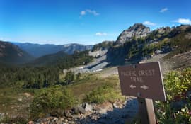
posted Aug 19, 2020
In order to achieve the objective of establishing a continuous trail of the magnitude and quality of the CDNST, it is necessary to establish a formal process for integrating the CDNST requirements into the long-range land and resource management programs of the various Federal and State agencies. Such a process should be both faithful to the intentions and requirements of the National Trails System Act and compatible with the regulations and procedures under which the agencies must work.
posted Aug 19, 2020
The Continental Divide National Scenic Trail (CDNST) Interpretive Plan guides the development and implementation of information, orientation and interpretation for the CDNST. Specifically, this plan includes interpretive goals, objectives, themes, exhibit recommendations, and design guidelines for interpretive efforts associated with the trail.
posted Aug 18, 2020
The phenomena of thru-hiking has been on a dramatic rise, spurring hikers to venture onto increasingly remote and challenging trails over extended periods of time. Despite the recent popularity of thru-hiking, the field remains relatively unstudied. In recreation, the expectations held beforehand have been linked to perceptions after an activity, but this has not been explored in thru-hiking.
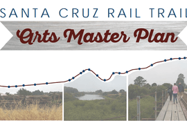
posted Aug 18, 2020
The Plan describes what the Public Art Program’s priorities should be. The Public Art Program will catalyze new projects, provide guidance to projects undertaken by developers and others, and continue community outreach and education around public art.
posted Aug 18, 2020
Fifty years ago President Johnson set in motion the establishment of a national system of trails for America. Since LBJ’s famous speech outlining his vision, America has accomplished much . . .

posted Aug 18, 2020
This study evaluated pack weight to understand the limits of long-term load carriage. Participants were Appalachian Trail hikers who attempted to complete the entire trail in the 2012 season.
Page 34 of 132


