Webinar recordings are available for FREE and immediate download in our online store.
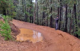
This presentation summarizes how the Trail Vision platform digitizes trail management— utilizing technology to collect, analyze, and visualize critical trail information, to make better, more informed decisions.
An overview of the methodology and results of the Continental Divide Trail Coalition’s (CDTC) 2022 Small Business Survey as well as CDTC’s Colorado Economic Impact Report released.
Learn how to best leverage your limited time to focus on promotional tactics that help you reach your goals.
This webinar will discuss successful tactics and strategies to engage lawmakers in securing public funding and innovative policy initiatives that support the development of trail networks in leading communities.
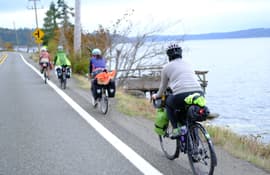
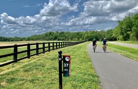
At nearly 19,000 miles and growing, learn about what the USBRS is and how you can be part of its growth.
This webinar will provide some basic information on trails in federally-designated Wilderness, examples of practical experiences, and resources to learn more.
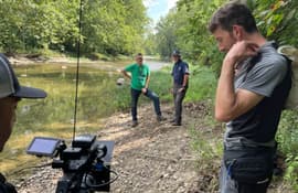
This webinar discusses the National Digital Trails project accomplishments, future steps, and provides a demonstration of the TRAILS tool.
This webinar will discuss details on what is needed in order to create a trail foundation from the ground up and how to keep it successful, as well as discussing the groundwork when it comes to a foundation’s particular focus—the trail.
This webinar will help “cut through the noise” of what the social media platforms actually do, who they target, and how to use them effectively.
This webinar will examine a study’s methodology and findings including trail residents’ needs, interests, and apprehensions in their daily lives, and how that connects to their awareness, impressions, and experiences with nearby trails and outdoor public spaces.
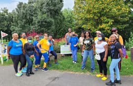
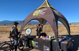
Learn about what one parks, trails, and open space division accomplished in order to enhance Leave No Trace stewardship practices and address growing trail issues throughout their system.
Learn how to use a variety of mobile and desktop based technologies to assess, plan, and design trails across the country.