posted Feb 19, 2018
Hear how a western city links recreational and commerce areas with non-motorized transportation facilities.

posted Sep 30, 2020
by Children and Nature Network
A growing body of scientific evidence suggests that the creation of nature-rich urban environments, including schoolyards with natural play spaces and gardens, can help improve physical and mental health, cognitive skills, creativity, and social bonding.
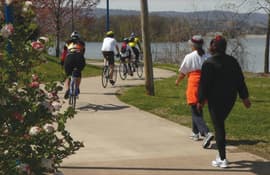
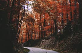
posted May 3, 2018
A comprehensive look at the elements of greenways and their benefits to communities.
posted Mar 13, 2018
Greenways provide numerous and diverse benefits to local municipalities and their residents. This plan focuses on the economic, ecological, recreational, social, and transportation benefits of greenways.
posted Mar 13, 2018
The purpose of this study is to determine if single-family sites that border upon a greenway are influenced economically by their proximity to the greenway.
posted Jan 30, 2020
This study investigates the question of whether the presence of a greenway increases the risk of crime occurring on the properties adjacent to the greenway.

posted Mar 26, 2018
Trail through Grimes Point Archaeological Site provides access to petroglyphs near ancient lake.
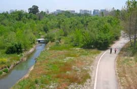
posted Mar 27, 2018
Three connecting trails: the Guadalupe River Trail, the Highway 237 Bikeway, and the Coyote Creek Trail North – provide 16.4 miles of recreation opportunity in San Jose.

posted Jul 14, 2016
Gudy is credited with being the Mother of The Colorado Trail, now 567 miles between Denver and Durango.
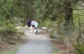
posted Aug 30, 2019
by Jeffrey Marion with U.S. Geological Survey
A great how-to for developing educational programs and plans for managing, maintaining, and improving informal trails
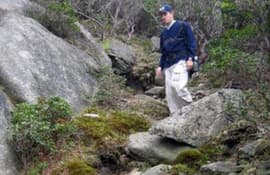
posted Jan 19, 2018
This Guide to Sustainable Mountain Trails: Assessment, Planning & Design Sketchbook, 2007 Edition, has its roots in the foundational policies and ethics of federal conservation and preservation land management agencies such as the United States Forest Service and the National Park Service, and in the spirit of nonprofit agency partnership support for land management agency stewardship initiatives.
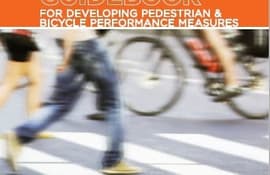
posted Jul 23, 2020
by Federal Highway Administration
This guidebook is intended to help communities develop performance measures that can fully integrate pedestrian and bicycle planning in ongoing performance management activities.
Page 48 of 132


