
posted Feb 19, 2018
by Jennifer Rigby with The Acorn Group, Inc.
Strategies for captivating your trail audience.
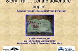
posted Feb 19, 2018
by Jennifer Rigby with The Acorn Group, Inc., Kristin Lundstrom with City of Boise Parks and Recreation, Erica Fielder with Erica Fielder Studio
Focuses on strategies for captivating your trail audience with provocative, well designed interpretive panels.
posted Feb 19, 2018
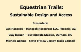
by Jan Hancock with Hancock Resources LLC, Michele (Kebea) Adams, Clay Nelson with Sustainable Stables
Sustainable, environmentally sensitive equestrian trailhead and trail design.
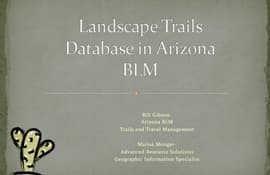
posted Feb 19, 2018
Explore multiple uses for GIS data beyond simple mapmaking and inventory.
posted Feb 19, 2018
Linking rail-trails and creating trail guides.

posted Feb 19, 2018
by Christopher Douwes with Federal Highway Administration, Ginny Sullivan with Adventure Cycling Association
Learn how the corridor-level plan was developed in partnership with the non-profit AASHTO and join Adventure Cycling and others in promoting state adoption of an interstate route system for bikes.
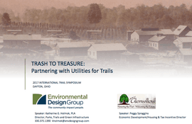
posted Feb 19, 2018
Glenwillow, Ohio has developed a multi-layered trail and park system along floodplains, regionally significant utilities, industrial history, and new development.

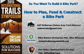
posted Feb 19, 2018
Learn how to plan and develop a bike park in your community.

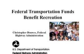
posted Feb 19, 2018
by Christopher Douwes with Federal Highway Administration
Attendees will learn how to apply for Federal-aid funds and learn what works and what doesn’t.

posted Feb 19, 2018
by Allison Jones with Florida Fish and Wildlife Conservation Commission, Jamie Rae Walker, Ph.D Texas A&M Extension
This presentation will focus on the key components of trail user count methodologies.
posted Feb 19, 2018
by Christopher Douwes with Federal Highway Administration, Bob Richards with Tennessee Greenways and Trails
How to apply for Federal-aid funds


