How and Why!
Explore multiple uses for GIS data beyond simple mapmaking and inventory.
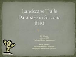
Speakers: William Gibson, Trails and Travel Management Coordinator – Arizona State Office Bureau of Land Management; Marisa Monger, Geographic Information Specialist, Advanced Resource Solutions; Dave Davenport, Lead Trails Specialist, Jefferson County Open Space
Using GPS units to inventory your trail system is sometimes seen as a time consuming and potentially costly exercise with limited returns. We’ll explore multiple uses for GIS data beyond simple mapmaking and inventory such as, strategies for staff management, accurate budgeting, and utilization of volunteers. Then we will look at how BLM has used GPS/GIS to develop a statewide trails/transportation dataset that can be combined with multiple BLM States that will become part of the agency’s national transportation dataset. The compilation process, including lessons learned, as the agency developed a database that covers large landscapes will be covered.
posted May 17, 2021
Levaware systems is offering IoT intelligence to create a new type of trailhead.
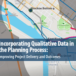
Incorporating Qualitative Data in the Planning Process
posted Jul 23, 2020
This report highlights emerging tools, techniques, and resources for gathering qualitative public and stakeholder input to inform the planning process, improve project outcomes, and contribute to streamlining project delivery.
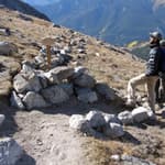
Colorado Fourteeners Initiative’s Sustainable Trails Program
posted Mar 1, 2018
Developing a more uniform, systematic and data-driven process to set capital construction and maintenance priorities was vital to ensure funding is going to the highest priority projects.
State of the Art Technology for Modern Trails
posted Feb 19, 2018
Today’s techno-savvy trail users expect to be able to plan and preview their trail experience with accurate GPS and GIS data viewed in programs like Google Earth.
1,009 views • posted 02/19/2018