posted Jul 23, 2020
by Federal Highway Administration
This guidebook is intended to help communities develop performance measures that can fully integrate pedestrian and bicycle planning in ongoing performance management activities.
posted Jul 23, 2020
by Federal Highway Administration
Installing bicycle facilities during roadway resurfacing projects is an efficient and cost-effective way for communities to create connected networks of bicycle facilities. This workbook provides recommendations for how roadway agencies can integrate bicycle facilities into their resurfacing program. The workbook also provides methods for fitting bicycle facilities onto existing roadways, cost considerations, and case studies.

posted Jul 23, 2020
by Federal Highway Administration
This report provides an overview of pedestrian and bicycle network principles and highlights examples from communities across the country.
posted Jul 23, 2020
Trails made with wood chips are difficult for those who use mobility aids because the surface is soft, uneven, and shifting.

posted Jul 23, 2020
by Federal Highway Administration
The purpose of this paper, intended for transportation practitioners and decision-makers, is to define transportation equity-related terms in the context of planning for bicycle and pedestrian facilities and programs; synthesize and highlight recent research findings related to the travel needs of traditionally underserved populations and the role of pedestrian and bicycle planning in addressing equity concerns; and to share strategies, practices and resources to address bicycle and pedestrian planning inequities.
posted Jul 23, 2020
by Federal Highway Administration
This Workbook describes thirteen (13) key strategies that have been used effectively to accelerate multimodal projects and provides examples and case studies for each.
posted Jul 22, 2020
by Federal Highway Administration, USDA Forest Service
This publication provides comprehensive guidance and instructions for applying Trail Fundamentals and Trail Management Objectives. This 2016 published version includes the original 2008 content, along with updated photos and formatting.
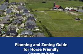
posted Jul 22, 2020
Since land is saved locally, it is vital that horsemen understand the basics of planning and zoning and how this impacts horse keeping, breeding, competing and recreating, as well as equine related businesses in their communities, in order to retain access to horses and enjoy their benefits.
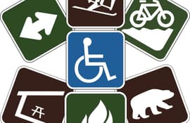
posted Jul 14, 2020
by Taylor Goodrich with American Trails
Wayfinding signs are the perfect way to easily communicate with trail users and keep them safe and oriented on the trail.
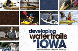
posted Jun 15, 2020
Practical guidelines and templates for planning, site design, signage and construction in the state of Iowa.
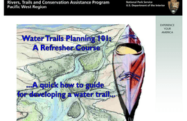
posted Jun 15, 2020
A quick how to slidehow/guide for developing water trails
posted May 19, 2020
by Portland State University, Oregon State Parks
This Long Trails Project has been conceived in partnership with the Oregon Parks Department to provide both a context and a definition for the Salmonberry Trail as part of a larger long trails network.


