posted Feb 19, 2018
This session will look at "how to keep it green" by projecting, planning, partnering, and paying for trails with examples from both projects.

posted Sep 26, 2019
A study shows that from 2014 to 2018, there was a $6.8 million gap between trail projects proposed to RTP and funding awarded.
posted May 23, 2018
Guidelines for use of Geosynthetic materials in trail construction.
posted Nov 5, 2018
The 44-page guide covers the key topics: Getting organized, Going public, Trail planning, Integrating natural values and recreational use, and Landowner issues and concerns. This is a joint publication of Parks & Trails New York and Hudson River Valley Greenway to encourage successful trail projects at the local level.
posted Apr 11, 2019
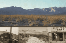
The purpose of this trail study is to investigate the feasibility of building a trail system that connects Jean and the I-15 corridor to the small rural town of Goodsprings and the historic alignment of the yellow Pine Railroad.
posted Feb 19, 2018
Key presentation elements will include a list of factors that trail planners and designers should consider.
posted May 10, 2021
by Great Shasta Rail Trail Association
The Great Shasta Rail Trail will link the towns of McCloud and Burney and nearby recreation areas along an 80 mile trail that will feature local heritage, scenic landscapes, and stimulate the economic and social vitality of the region.
posted Jul 28, 2020
by National Off-Highway Vehicle Conservation Council (NOHVCC)
The definitive guide for the planning, designing, constructing, managing and maintaining Off-Highway Vehicle (OHV) trails
posted Feb 19, 2018
Hear how a western city links recreational and commerce areas with non-motorized transportation facilities.
posted May 3, 2018
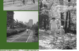
A comprehensive look at the elements of greenways and their benefits to communities.
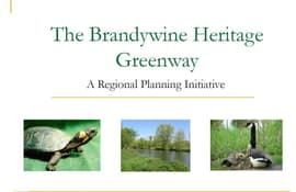
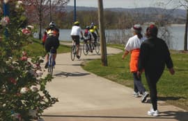
posted Mar 13, 2018
Greenways provide numerous and diverse benefits to local municipalities and their residents. This plan focuses on the economic, ecological, recreational, social, and transportation benefits of greenways.
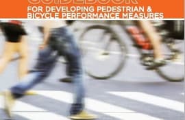
posted Jul 23, 2020
by Federal Highway Administration
This guidebook is intended to help communities develop performance measures that can fully integrate pedestrian and bicycle planning in ongoing performance management activities.


