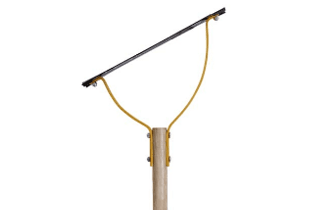
A wide variety of tools are available to layout, construct, and maintain trails. Local and individual preferences often dictate the kinds of tools which are chosen for various tasks.
by Jim Schmid
A wide variety of tools are available to layout, construct, and maintain trails. Local and individual preferences often dictate the kinds of tools which are chosen for various tasks. Some of the most commonly used tools and tips on using the tool safely and effectively are presented. Every trail worker needs to learn how to choose the correct tool for the job, use it effectively and safely, care for it, and store it properly.
The following trail work safety tips should be covered with volunteers and crewmembers before the start of any trail work.
Proper use begins with a good grip. Wet or muddy gloves may cause a tool to slip from your hands, striking you or someone near you.
Watch out for people around you. When chopping or brushing, be aware of any people in the surrounding area. The combined length of your arm and tool could reach a person working near you. Also, be aware of trail users. Often a user may try to pass right into your back swing. If you see someone coming, stop work, notify your co-workers and wait for them to pass.
Make sure you have a clear area in which to swing. Watch out for overhead or side hazards. A hazard is anything that could interfere with the complete swing of your tool, and knock it from your hands or down onto any part of your body. Keep your tool in front of you at all times. You should never need to swing your tool over your head.
Be alert for hazardous footing. Make sure you have a firm, balanced, and comfortable stance before starting your work. Clear limbs, sticks, loose rocks, or other debris from your footing area. Particularly with striking tools—make sure your feet are spaced well away from your target area.
Choose the right tool for the job. The wrong tool can make you work in an awkward stance which will wear you out.
Make sure your tool is sharp. A dull tool that bounces or glances off of what it was attempting to cut can be very dangerous. A sharp tool will cut faster and be less tiring.
Carry the tool properly. Always carry tools in your hands and down at your side on the down hill side of the trail. Use blade guards whenever possible. Never carry tools over your shoulder.
Travel safely. Stay at least 10 feet apart on the hike in and out from the work site—space yourself along the trail.
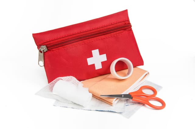
Have the right personal protective devices. Along with wearing long pants, long-sleeve shirts, and work boots, crewmembers should have available hardhats, gloves, and safety glasses.
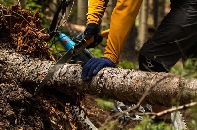
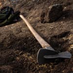
These are the most commonly used Repair and Sharpening Tools with tips on using them safely and effectively.
Tool handles crack and break all the time. Any tool that has a damaged handle should be condemned from use until a replacement is installed. The same is true for tools whose head is loose or cutting edge is broke. Serious injury can result from tools that need a new handle or have a broken head. Be sure your tools are in good shape before use.
Files
A 10- to 12-inch flat mill, or a flat, single-cut bastard file is the simplest tool for shaping a bevel or giving a blade a fast edge. Because of the tooth design, files cut in only the forward direction. Dragging on the backstroke quickly dulls the file. If the file becomes clogged with filings, clean it with a wire brush or file card.
Safety tip: Make sure your file has a knuckle guard and a handle. It’s also a good idea to wear gloves when using a file.

During his career Jim Schmid served as South Carolina’s first State Trails Coordinator as well as working for the US Forest Service as a Trails Manager in AZ, ID, and FL and also had the pleasure of managing the Florida National Scenic Trail. Jim is a collector at heart. Check out his collection of trail quotes, terms, acronyms, sayings and more at jimstrailresources.wordpress.com. In addition to updating his website and writing book reviews for American Trails Jim enjoys traveling around the country riding rail-trails and mtn bike trails.
Contact: [email protected]
posted Sep 11, 2023
The tools shown here are those used most often by Forest Service trail crews. They are categorized into tools for sawing, chopping, grubbing, digging and tamping, pounding, and hammering, lifting and hauling, peeling and shaping, and sharpening and rehandling. Each tool is described along with helpful techniques for use and maintenance.
Tools for Trails: Measuring and Surveying Tools
posted Nov 8, 2022
Before trail builders start digging, they first have to lay the trail, flag the line, and more to ensure a grade that not only matches the terrain but also is well throughout to prevent erosion.
posted Aug 8, 2022
Let’s talk about grubbing and raking tools! You might have heard the term grubbing before, but if you’re new to trail building, it may be unfamiliar. Grubbing is when you are removing earth and topsoil. Basically digging into the first while removing vegetation in the process. Trail builders may also call this process hogging.
posted Jun 8, 2022
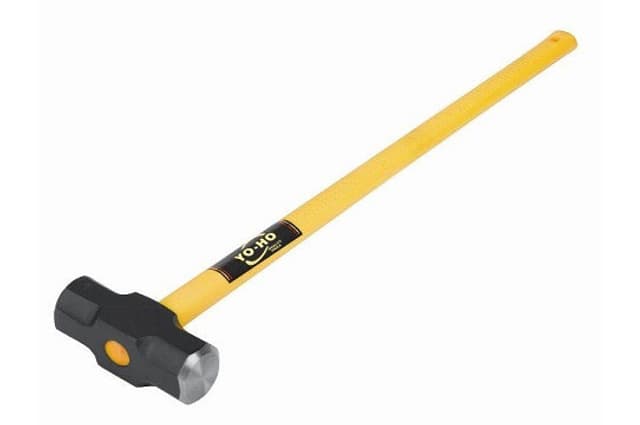
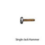
There are a few options for striking tools that you may see out on a project. Some like the sledge hammer will be seen more, while others may only be pulled out for special projects.
16,977 views • posted 10/10/2019