published Jul 2020
by
Taylor Goodrich with American Trails
Wayfinding signs are the perfect way to easily communicate with trail users and keep them safe and oriented on the trail.
posted Jun 9, 2020
Hear from three different organizations how to prepare effective, user-friendly, and time-dynamic wayfinding signage guidelines.
published Jul 2018
by
California State Parks, Statewide Trails Section
It’s up to you as a park steward to instill a sense of appreciation for the story that needs to be told – interpretive theme and messages of the trail must be well planned.
posted Mar 27, 2018
Starting near Columbia, this 50-mile water trail and greenway ranges from urban adventures to the Coastal Plain with its high bluffs and floodplain habitats.
posted Mar 27, 2018
The Juniata River Water Trail is a component of the Pittsburgh to Harrisburg Main Line Canal Greenway, a 320-mile corridor of natural wonders, history, culture, and recreation following the path of the historic Main Line Canal.
posted Mar 27, 2018
Wetlands and waterfowl are featured on this trail at Sequoyah National Wildlife Refuge.
posted Mar 27, 2018
Pocosin Lakes National Wildlife Refuge is the site for this wetlands trail near Columbia, North Carolina.
posted Mar 27, 2018
Located in Bosque del Apache National Wildlife Refuge (NWR) , this 2.2-mile interpretive trail provides access to wildlife viewing in the Chihuahuan Desert ecosystem.
posted Mar 27, 2018
This National Recreation Trail in Betty's Kitchen Wildlife and Interpretive Area invites vistors along the Colorado River at the California border.
posted Mar 26, 2018
Trail through Grimes Point Archaeological Site provides access to petroglyphs near ancient lake.
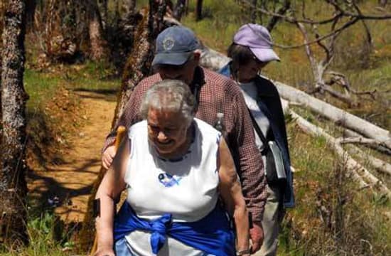
Mrs. Gentner, who the Gentner's Fritillaries were named after, hiking the Sarah Zigler Interpretive Trail in Jacksonville, Oregon
Mrs. Gentner, who the Gentner's Fritillaries were named after, hiking the Sarah Zigler Interpretive Trail in Jacksonville, Oregon
Mrs. Gentner, who the Gentner's Fritillaries were named after, hiking the Sarah Zigler Interpretive Trail in Jacksonville, Oregon


