posted Aug 3, 2020
by Federal Highway Administration
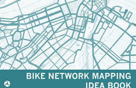
This resource highlights ways that different communities have mapped their existing and proposed bicycle networks. It shows examples of maps at different scales, while also demonstrating a range of mapping strategies, techniques, and approaches. Facility types represented on the respective maps and legends are each different because they represent a community’s unique context and needs.
posted Aug 3, 2020
by Palmetto Conservation Foundation, Alta Planning + Design
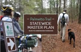
The Palmetto Trail Statewide Master Plan establishes a ten-year vision for completing and expanding the Palmetto Trail from South Carolina's mountains to its coast.
posted Aug 3, 2020
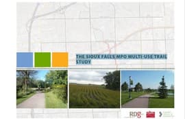
The Big Sioux trail loop was developed several decades ago to control flooding, but Sioux Falls continues to invest in the trail to connect inter-urban areas. This study includes planning and design processes, appropriate infrastructure, costs, timing, potential obstacles, design standards, implementation policies and funding. It is an aesthetically pleasing plan that presents several options for the trail with maps and graphics to complement it.
posted Aug 3, 2020
by Rails to Trails Conservancy
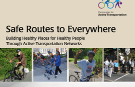
Transportation connects people and places. It provides access to jobs, education, shopping and recreation. More than one-quarter of all trips we make are less than a mile — an easy walking distance — and nearly one-half of all trips are within three miles — an easy biking distance. Yet, we make more than 78 percent of these short trips by car.

posted Aug 3, 2020
by Florida Office of Greenways and Trails
We all know a good trail when we’re on one. We’re not disoriented due to lack of signage or markers. We’re not climbing over downed trees or ducking under branches, and we’re not slogging through water or mud unless we’ve been forewarned beforehand. A good trail is one where we can fully enjoy our surroundings while challenging ourselves if that is our intent. Trails should provide for a variety of trail distances, loops, ecosystems, scenery and degrees of difficulty. As trail professionals, we should strive to make the best possible experience for users and learn from the past.
posted Aug 3, 2020
Successful management of trails in Cuyahoga Valley National Park (CVNP), the Park, will be critical for the protection of park resources and to provide safe and enjoyable recreational trails to the trail user. The Sustainable Trail Guidelines were developed with two primary objectives: to evaluate and prioritize strategies that will improve the existing trail system, and to introduce new trails that can be managed with minimal resources. The Guidelines will assist the Park in setting benchmarks for trail conditions that will result in an optimum trail system within the Park. The Sustainable Trail Guidelines set forth to serve as the primary Standard Operating Procedure document for trails management in CVNP. Establishing the CVNP Sustainable Trail Guidelines will be the first step towards implementation of the 2012 Trail Management Plan.
posted Aug 3, 2020
by Capital District Transportation Committee
This document will review CDTC’s accomplishments in improving the bicycle and pedestrian travel environment throughout the region and identify any shortfalls. It will propose new goals, with a focus on improving the health and increasing economic activity in the region related to bicycling and walking. The document also includes an implementation plan to help CDTC prioritize bicycle and pedestrian programs, projects and initiatives to have the greatest regional impact and achieve the most goals. This updated document has been renamed the Bicycle and Pedestrian Action Plan.
posted Aug 2, 2020
by Carson City Parks, Recreation & Open Space
The purpose of the Prison Hill Recreation Area Off-Highway Vehicle (OHV) Management Plan is to provide the framework to proactively manage the approximately 960 acres open to OHV use by outlining a prescribed set of management activities. The plan will be implemented through a phased approach.
posted Jul 30, 2020
The Sheepskin Trail, a rail-trail project is a proposed 34 mile bicycle/pedestrian path that will extend from Dunbar Township to Point Marion Borough at the Pennsylvania/West Virginia state line. The intent of this study update is to utilize and update the 1999 Feasibility Study as necessary based on changes to the trail corridor that have occurred in the past 18 years.
posted Jul 30, 2020
by Vanasse Hangen Brustlin, Inc.
This feasibility study examined the development of a multi-use rail with trail along the State-owned railroad, as well as a number of alternate routes. This study does not recommend specific routes, but highlights the possibilities for further consideration by the involved individuals and communities.
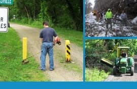
posted Jul 29, 2020
by Rails to Trails Conservancy
This study presents a more comprehensive understanding of rail-trail maintenance, as has been done for other rail-trail issues such as construction costs, economic impact and rails-with-trails. Such an approach enables the rail-trail community to focus its limited resources more effectively on addressing the most critical issues.

posted Jul 29, 2020
by U.S. Fish & Wildlife Service
The U.S. Fish and Wildlife Service, along with our partners, is charting a course for the future of the National Wildlife Refuge System.


