posted Jun 5, 2019
by Margie Tatro with Reineke Construction
In this session learn about a simple, cost estimating tool and key factors associated with trail construction costs.
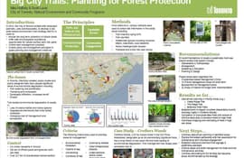
posted Jun 5, 2019
by Mike Halferty with City of Toronto - Urban Foresty Branch
This poster session presentation summarizes the process of developing the City of Toronto's Natural Environment Trails Strategy and its outcomes.

posted Jun 5, 2019
by Yves Zsutty with City of San Jose - Parks, Recreation, and Neighborhood Services
In this presentation find out what worked and what didn't with San Jose, California's urban trail network.

posted Jun 5, 2019
by Chris Gensic with City of Charlottesville Parks & Recreation
Trail Talk handout
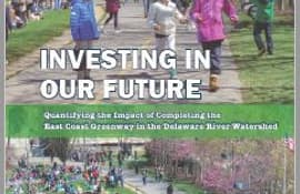
posted Jun 5, 2019
by Niles Barnes with East Coast Greenway Alliance
This report looks at the impact of the East Coast Greenway within the Delaware River Watershed.
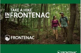
posted Jun 4, 2019
by Richard Allen with Frontenac County, Ontario, Mike Rose with Alta Planning + Design, Ezra Lipton with Alta Planning + Design
Trails have the opportunity to seamlessly connect vast regions. They become the spine of an active transportation network, that connects people to areas beyond the trail’s reach.
posted Jun 4, 2019
by Jeremy Apgar with New York - New Jersey Trail Conference
All trail users, from casual walkers to experienced mountain bikers or hikers, should have access to a good trail map to make the most of their outdoor experience.
posted Jun 4, 2019
by Jared Fijalkowski with Volpe National Transportation Systems Center, Eli Griffen with Rails to Trails Conservancy
This session demonstrates how communities can develop Rails-with-Trails that facilitate both rail and active transportation.
posted Jun 4, 2019
by Christopher Douwes with Federal Highway Administration
This presentation will provide a broad overview of Federal Highway Administration goals, programs, resources, and funding.
posted Jun 4, 2019
by Bill Long with Bay Area Ridge Trail Council, Frank Maguire, Diane Kripas
Learn how trail leaders are generating support through techniques like outings and events, hikes with landowners, improved mapping and compelling visual images and engage in a sharing of lessons learned.
posted Jun 4, 2019
by Chris Morris with New York State Office of Parks, Recreation, and Historic Preservation, Hank Osborn with New York - New Jersey Trail Conference, Sara Hart with New York State Office of Parks, Recreation, and Historic Preservation
This presentation will showcase elements of a comprehensive planning effort underway, and will focus on specific management actions including data collection, trail stewardship, maintenance, and a Leave No Trace hot spot event.

posted May 1, 2019
Water trails are a unique form of recreation – in its simplest form it consists of floating with minor balance and navigation. However, the ability to reach the water’s edge is probably one of the largest obstacles to participation.


