posted Nov 24, 2023
Winter recreation is a rapidly growing activity, and advances in technology make it possible for increasing numbers of people to access remote backcountry terrain. Increased winter recreation may lead to more frequent conflict between recreationists, as well as greater potential disturbance to wildlife.
posted Nov 15, 2023
by Equinox
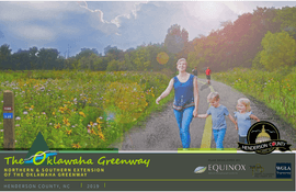
The Oklawaha Greenway extensions will create connectivity between parks, municipalities, and destinations through an accessible, continuous greenway that serves as a walking and biking spine for future greenway growth and connections within Henderson County.
posted Nov 8, 2023
The purpose of the Lower Saluda Greenway, a proposed 10.5-mile multi-use paved path along the north side of the Lower Saluda River, is to increase safe access to nearby parks, trails, and destinations, aid in short-trip multimodal travel, and increase regional connectivity and unity between the Lexington and Irmo areas with the communities of Columbia, West Columbia, and Cayce.
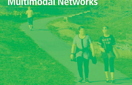
posted Nov 1, 2023
by Federal Highway Administration
The Small Town and Rural Multimodal Networks report is a resource and idea book intended to help small towns and rural communities support safe, accessible, comfortable, and active travel for people of all ages and abilities.
posted Oct 25, 2023
by Pedestrian and Bicycle Information Center
This info brief provides a fresh look at the current state of practice for trail development, reflecting new research and showing the growing applications of trails in every type of environment and community.
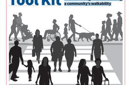
posted Oct 25, 2023
by AARP
A self-service guide for assessing a community’s walkability.
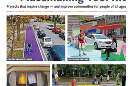
posted Oct 18, 2023
Projects that inspire change — and improve communities for people of all ages
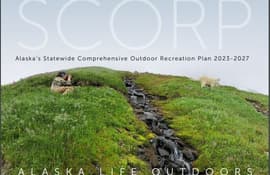
posted Oct 16, 2023
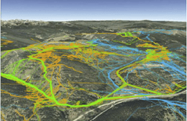
Outdoor recreation is vital to the lives and livelihoods of Alaskans. The state’s stunning wild landscapes, vast expanses of public land, productive ecosystems, vital cultural traditions, and four seasons of outdoor adventure position Alaska to be a world leader in outdoor recreation.

posted Oct 11, 2023
by KOA Corporation, A Lochner Company
The City of Pasadena's Bikeways Analysis and Feasibility Study builds on the outreach and feedback received during the development of the City's Bicycle Transportation Action Plan.
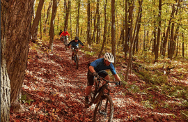
posted Oct 10, 2023
The Greater Minnesota Regional Parks and Trails Commission (GMRPTC) recognized the need to create a resource for mountain bike (MTB) trail construction that would assist land and park managers seeking to build sustainable trails. The result of this effort is the Mountain Bike Trail Development Guidelines, a comprehensive “how to” that breaks down the process from start to finish beginning with assessing the project and ending with how to maintain the newly built trails.
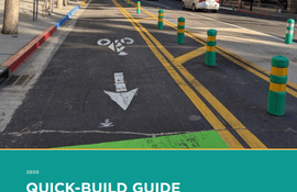
posted Oct 4, 2023
by Alta Planning + Design, California Bicycle Coalition (CalBike)
The California Bicycle Coalition (CalBike) and Alta Planning + Design are excited to share this Quick-Build Guide for quickly and inexpensively creating safe spaces on our streets for people to travel by bike, on foot, on a scooter, by skateboard, or by any other low-impact, low-cost mode of transportation.
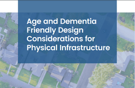
posted Oct 3, 2023
by Massachusetts Advisory Council on Alzheimer’s Disease
Inclusive design can address functional needs arising from dementia.


