
posted Mar 6, 2018
by Hugh Duffy with National Park Service
Webinar Follow up Questions & Answers, by Hugh Duffy, National Park Service
posted Mar 5, 2018
Houses with the above-average levels of walkability command a premium of about $4,000 to $34,000 over houses with just average levels of walkability in the typical metropolitan areas studied.

posted Feb 19, 2018
This presentation discusses how to avoid common trail design mistakes.

posted Feb 19, 2018
Want your trail to connect to the next town? The next county? How about the next state?

posted Feb 19, 2018
by Karen Vitkay with Alta Planning + Design, Alex Oreschak with Maricopa Association of Governments
Wayfinding systems are essential tools of complete and effective regional trails and trail networks.
posted Feb 19, 2018
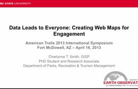
This session will also explain the practical use of GIS technology for numerous applications.

posted Feb 19, 2018
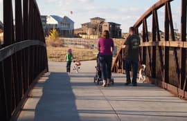
Hear how a western city links recreational and commerce areas with non-motorized transportation facilities.
posted Feb 19, 2018
This session will promote the benefits of conducting critical focus on whether your area’s trails are really producing the healthy lifestyle benefits they should and at the lowest environmental impact possible.
posted Feb 19, 2018
by J. Scott Groenier, PE with USDA Forest Service, Chip Young with Florida Fish and Wildlife Conservation Commission
Today’s techno-savvy trail users expect to be able to plan and preview their trail experience with accurate GPS and GIS data viewed in programs like Google Earth.
posted Feb 19, 2018
A case study for examining the challenges and potential of long-distance hiking trails in a region affected by political instability.
posted Feb 19, 2018
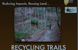
Learn the step-by-step process for a full mechanical road-to-trail conversion from planning and outreach to design, construction, and working with volunteers.


