Trail Wayfinding Within and Beyond the Standards
Wayfinding systems are essential tools of complete and effective regional trails and trail networks.
by Karen Vitkay, Alta Planning + Design, Alex Oreschak, Transportation Planner, Maricopa Association of Governments
Presenters: Karen Vitkay, Associate Landscape Architect, Alta Planning + Design; Alex Oreschak, Transportation Planner II, Maricopa Association of Governments, Arizona
Wayfinding systems are essential tools of complete and effective regional trails and trail networks. Wayfinding information clarifies routes and helps users comfortably reach their destinations. Guide signage for shared use paths requires that federal standards within the Manual on Uniform Traffic Control Devices (MUTCD) are adhered to. Numerous municipalities are however pushing the boundaries of the technical requirements in order to achieve effective wayfinding systems that include local community character.

Karen Vitkay is a Registered Landscape Architect with Alta Planning + Design in their Portland, Oregon office. She has focused on bicycle, pedestrian, and trail planning and design for the last ten years and currently leads Alta’s national wayfinding practice. Karen balances design creativity with an understanding of federal guidelines and standards, to achieve designs that are implementable as well as community supported. Her experience spans a wide range of project scales and scopes, from master planning a national bicycle plan for the country of Qatar to developing construction details for a 500-foot-long section of multi-use pathway along a creek in her backyard.
Karen says, “I trust we have the ability to live more gently on the land, and I aspire to design the paths to do so. As a landscape designer, I seek to positively affect both our natural and built environments. I strive to create works which: benefit a wide range of people, are context sensitive, and positively affect public health, social interactions and our quality of life.”
Contact: [email protected]
Alex Oreschak is a transportation planner for Maricopa Association of Governments, with a focus on non-motorized transportation projects. He leads MAG’s Bicycle and Pedestrian Program, including the regional Bicycle and Pedestrian Committee, the bike count program, the regional bikeways map, and the regional off-street network wayfinding system project. He works with representatives from over twenty-five agencies on planning projects, bikeway designs, and federal funding of bicycle and pedestrian projects.
Contact: [email protected]
iZone Imaging Brings Bugtopia to Life Through Signage
posted Jan 14, 2022
iZone Imaging’s High Pressure Laminate brings to life the interpretive signage throughout the Brawn Family Foundation Bugtopia Playground at the Calgary Zoo. The signs are eco-friendly and can withstand the high traffic interactive area over time. (Sponsored Content)
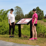
Signage Solutions for Every Trail System
posted Jun 11, 2021
Pannier is the leading manufacturer of signs, panels, exhibit bases, and frames. With a full line of exhibit bases, there is a product for every trail and wayside application.
posted May 7, 2021
This National Sign Guidebook presents information for planning, designing, fabricating, procuring, installing, and maintaining signs in a clear, complete, and user friendly format.
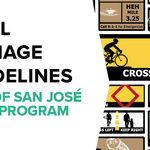
posted May 6, 2021
The purpose of this document is to provide the required tools for trail planners, designers, and contractors to deploy a cohesive trail signage program throughout the City of San José’s Trail Network.
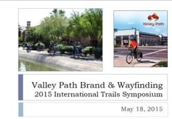
1,102 views • posted 02/19/2018