posted May 3, 2018
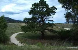
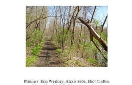
This report sorts through the various choices for the most "economical and sustainable" types of trail surfacing options along the proposed Rio Grande Trail corridor from Belen to Sunland Park, New Mexico.
posted May 3, 2018
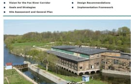
This plan provides a framework for the City of Appleton to help encourage continued transition of targeted redevelopment areas to new and productive uses.
posted May 3, 2018
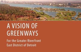
The vision for a new network of greenways in the Greater Riverfront East District of Detroit emerged from the desire to use greenways to connect the diverse neighborhoods of the area to each other and to the city’s magnificent natural asset, the Detroit River.
posted May 3, 2018
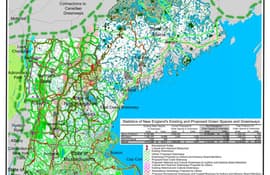
The New England wide vision plan for a network of greenways and green spaces is built on the continuation of a great tradition of planning in New England.
posted May 3, 2018
The objective of this study was to determine the type of pathway that would best satisfy the needs of the Village of Hoosick community.
posted May 3, 2018
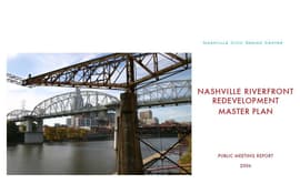
The Nashville Riverfront Redevelopment Master Plan relied on citizen input gathered at three public meetings in December 2005 as the basis for a master plan to be created by a professional design team.
posted May 3, 2018
A comprehensive look at the elements of greenways and their benefits to communities.

posted May 3, 2018
A presentation on the emergence and growth of the greenway and open space system in Denver, Co.
posted May 3, 2018
This is a handbook for those private citizens and public officials all over America who are working to create outdoor recreation opportunities and protect wildlife and our environment by establishing corridors of open space called greenways.
posted Apr 25, 2018
by Steve Elkinton with National Park Service
Trails and greenways advocates need to think more broadly and to look at the larger values of trails in the context of "green infrastructure."

posted Apr 24, 2018
by Chuck Flink with Greenways Inc.
The ECG Alliance focuses on completing the long-distance system of trails and bike routes.
posted Apr 11, 2018
The 750-mile trail will provide new opportunities for hiking and biking along scenic vistas and through charming, historic communities, driving tourism and economic activity across New York.


