
posted May 17, 2021
by Arwen Brenneman with Reliance Foundry Co. Ltd.
Levaware systems is offering IoT intelligence to create a new type of trailhead.
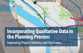
posted Jul 23, 2020
by Federal Highway Administration
This report highlights emerging tools, techniques, and resources for gathering qualitative public and stakeholder input to inform the planning process, improve project outcomes, and contribute to streamlining project delivery.

posted Mar 1, 2018
Developing a more uniform, systematic and data-driven process to set capital construction and maintenance priorities was vital to ensure funding is going to the highest priority projects.
posted Feb 19, 2018
GIS tools are being used to make investment decisions on developing new trail systems and managing existing trail systems.
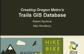
posted Feb 19, 2018
by Robert Spurlock with Oregon Metro Regional Government, Max Woodbury with Oregon Metro Regional Government, Jenny Konwinski, Reid Ammann
The task of developing GIS databases.

posted Feb 19, 2018
This session will also explain the practical use of GIS technology for numerous applications.

posted Feb 19, 2018
by Allison Jones with Florida Fish and Wildlife Conservation Commission, Jamie Rae Walker, Ph.D Texas A&M Extension
This presentation will focus on the key components of trail user count methodologies.
posted Feb 19, 2018
Explore multiple uses for GIS data beyond simple mapmaking and inventory.

posted Feb 19, 2018
by J. Scott Groenier, PE with USDA Forest Service, Chip Young with Florida Fish and Wildlife Conservation Commission
Today’s techno-savvy trail users expect to be able to plan and preview their trail experience with accurate GPS and GIS data viewed in programs like Google Earth.


