posted Mar 13, 2018
by National Recreation and Park Association (NRPA)
A national study on Active Transportation and Parks and Recreation.
posted Dec 20, 2023
by Federal Highway Administration
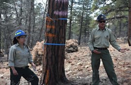
The Federal Highway Administration’s (FHWA) Office of Tribal Transportation (OTT) planning staff have observed two challenges in Tribal transportation planning: (1) that existing planning analysis tools do not always align with Tribal community context and needs and (2) it is not always clear what benefits planning provides to transportation project selection and delivery in Tribal communities.
posted Dec 19, 2023
This white paper provides information and resources for Tribes, Tribal trails and active transportation advocates, and agencies that may partner with Tribes on trail projects including Federal and State agencies, MPOs, county and local governments, and community organizations.
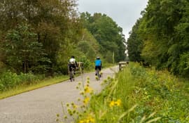
posted Dec 13, 2023
by Rails to Trails Conservancy
Rails to Trails Conservancy's TrailNation™ Playbook brings the decades of experience building trail networks across the country to a resource of case studies, best practices and tools for trail network development on a local and national level.
posted Nov 1, 2023
by Federal Highway Administration
The Small Town and Rural Multimodal Networks report is a resource and idea book intended to help small towns and rural communities support safe, accessible, comfortable, and active travel for people of all ages and abilities.
posted Oct 25, 2023
by Pedestrian and Bicycle Information Center
This info brief provides a fresh look at the current state of practice for trail development, reflecting new research and showing the growing applications of trails in every type of environment and community.
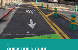
posted Oct 4, 2023
by Alta Planning + Design, California Bicycle Coalition (CalBike)
The California Bicycle Coalition (CalBike) and Alta Planning + Design are excited to share this Quick-Build Guide for quickly and inexpensively creating safe spaces on our streets for people to travel by bike, on foot, on a scooter, by skateboard, or by any other low-impact, low-cost mode of transportation.
posted Sep 26, 2023
by National Recreation and Park Association (NRPA)
Adults living within a half mile of a park visit parks and exercise more often, but according to the 2014 State Indicator Report on Physical Activity, less than 38 percent of the U.S. population lives within a half mile of a park.
posted Feb 14, 2022
by Kimley-Horn Planning and Design Engineering Consultants
The purpose of the Highway-Rail Crossing Handbook, 3rd Edition is an information resource developed to provide a unified reference document on prevalent and best practices as well as adopted standards relative to highway-rail grade crossings.
posted Aug 6, 2020
by Federal Highway Administration
The 2016-2021 Strategic Agenda for Pedestrian and Bicycle Transportation builds on 25 years of progress toward increasing walking and biking safety and activity throughout the United States. The 1994 National Bicycling and Walking Study: Transportation Choices for Changing America set the stage for advancing safe, accessible, comfortable, and well-used pedestrian and bicycle transportation networks, with a focus on increasing trips and reducing injuries and fatalities.
posted Aug 3, 2020
by Federal Highway Administration
This resource highlights ways that different communities have mapped their existing and proposed bicycle networks. It shows examples of maps at different scales, while also demonstrating a range of mapping strategies, techniques, and approaches. Facility types represented on the respective maps and legends are each different because they represent a community’s unique context and needs.
posted Aug 3, 2020
by Rails to Trails Conservancy
Transportation connects people and places. It provides access to jobs, education, shopping and recreation. More than one-quarter of all trips we make are less than a mile — an easy walking distance — and nearly one-half of all trips are within three miles — an easy biking distance. Yet, we make more than 78 percent of these short trips by car.
posted Jul 29, 2020
by National Center for Transit Research (NCTR
The purpose of this research was to provide a methodology to evaluate how intermodal connections between public transportation and public trails can improve livability in Florida communities.


