posted May 16, 2018
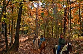
The perception of horse impacts in ecological reserves.
posted Jan 24, 2018
by R. Brian Kermeen with USDA Forest Service
Like most areas managed by the Forest Service, U.S. Department of Agriculture, the central Sierra Nevada has steep and mountainous terrain. Most of our facilities evolved over time or were designed 30 years ago with no consideration for the needs of persons with disabilities.
posted Mar 13, 2018
Parks serve many different uses, may be specialized in their function, or can simply provide visual appeal for residents. Parks define the shape and feel of a city and its neighborhoods.
posted May 3, 2018
This is a handbook for those private citizens and public officials all over America who are working to create outdoor recreation opportunities and protect wildlife and our environment by establishing corridors of open space called greenways.
posted Mar 13, 2018
This literature review discusses how urban form affects public health, specifically through the ways in which the built environment encourages or discourages physical activity levels.
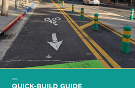
posted Oct 4, 2023
by Alta Planning + Design, California Bicycle Coalition (CalBike)
The California Bicycle Coalition (CalBike) and Alta Planning + Design are excited to share this Quick-Build Guide for quickly and inexpensively creating safe spaces on our streets for people to travel by bike, on foot, on a scooter, by skateboard, or by any other low-impact, low-cost mode of transportation.
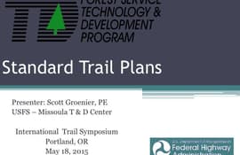
posted Feb 19, 2018
Standard Trail Plans and Specifications.
posted Feb 19, 2018
This presentation will provide participants with a framework that integrates effective strategies for consensus building, planning, and design.
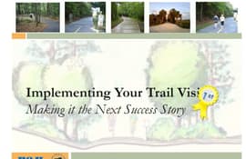
posted Feb 19, 2018
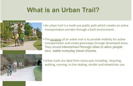
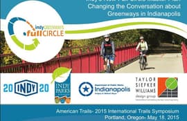
This session will focus on the big and innovative thinking necessary to retrofit an urban environment for a multi-use trail system.
posted Jul 29, 2020
This report will discuss how community organizing principles and practices can help organizations and agencies connect with the communities they are working in to achieve comprehensive community engagement. As a lack of resources is a common obstacle to achieving an inclusive process, Section Three of this report outlines low-cost outreach methods and emphasizes the importance of leveraging existing community-based resources.
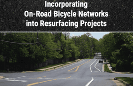
posted Jul 23, 2020
by Federal Highway Administration
Installing bicycle facilities during roadway resurfacing projects is an efficient and cost-effective way for communities to create connected networks of bicycle facilities. This workbook provides recommendations for how roadway agencies can integrate bicycle facilities into their resurfacing program. The workbook also provides methods for fitting bicycle facilities onto existing roadways, cost considerations, and case studies.
posted Feb 19, 2018
The Indy Greenways Full Circle Plan is a bold new vision for trails.


