posted Mar 27, 2024
The purpose of the Wilderness Stewardship Plan Handbook 2014 is to provide direction for creating wilderness stewardship plans, driven by the concept of preserving wilderness character. The Handbook focuses on how to incorporate wilderness policy and wilderness character into a wilderness stewardship plan and also offers a general overview of planning and compliance to be useful for those with and without a professional background in planning.
posted Mar 27, 2024
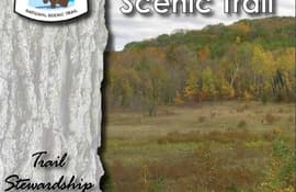
The Ice Age National Scenic Trail (NST) is a thousand-mile footpath highlighting Wisconsin’s renowned Ice Age heritage and scenic beauty. The Ice Age Trail Alliance (IATA) and its partners can shape users’ experiences. As stewards of the land and the Trail, we can help users develop a connection with the land and create a sense of wonder — even pique their curiosity enough to further explore the Trail.
posted Feb 14, 2022
Everything you need to know about trail planning and design for long lasting trails.
posted Nov 9, 2021
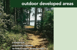
Everything you need to know about planning, building, and maintaining accessible trails.
posted Aug 8, 2020
The Access Board is responsible for developing accessibility guidelines for the construction and alteration of facilities covered by the Americans with Disabilities Act (ADA) of 1990 and the Architectural Barriers Act (ABA) of 1968.

posted Aug 5, 2019
The Primer provides discussion of broad wildlife topics, plus key concepts and rules of thumb to help with trail planning and management.
posted Apr 13, 2019
This guidebook was written to help designers and managers apply FSORAG and FSTAG to their work and to pro- vide guidance for integrating accessibility into outdoor recreation site and trail projects.
posted Mar 13, 2018
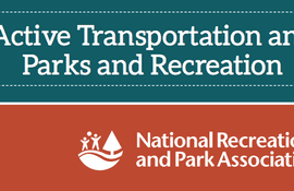
by National Recreation and Park Association (NRPA)
A national study on Active Transportation and Parks and Recreation.
posted Aug 8, 2014
The Access Board has published new guidelines under the Americans with Disabilities Act (ADA) and the Architectural Barriers Act (ABA) that address access to sidewalks and streets, crosswalks, curb ramps, pedestrian signals, on-street parking, and other components of public rights-of-way.
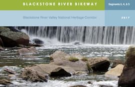
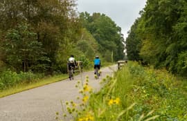
posted Apr 19, 2024
The Blackstone River Bikeway is a 48-mile-long route connecting Worcester, Massachusetts with Providence, Rhode Island. The Bikeway generally follows the historic Blackstone River and utilizes an off-road multi-use path and an on-road facility.

posted Apr 17, 2024
by League of American Bicyclists
This report summarizes guidance and best practices to create safer bicycle facilities and connect them into networks that allow more people to safely bike to more places within and throughout communities.
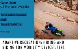
posted Feb 24, 2024
by Quinn Brett with National Park Service
This U.S. Fish and Wildlife presentation by Quinn Brett focuses on trail information and trail usability.

posted Jan 26, 2024
This guide walks advocates and trail planners through the steps needed to see a greenway trail completed. The first section outlines the steps needed to get a project started, from identifying the corridor to cultivating the vision that will help inspire engagement and public support, and eventually lead to buy-in from state and/or local government.
posted Jan 22, 2024
The Call to Action provides strategies that communities can use to support walking, which we hope will result in long-lasting changes to improve the health and health care of Americans today and of the generations that follow.
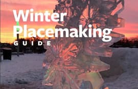
posted Jan 2, 2024
by 8-80 Cities
The Winter Placemaking Guide is dedicated to community leaders, policymakers and all types of community changemakers who seek to improve their surroundings during the winter season.
posted Dec 20, 2023
by Federal Highway Administration
The Federal Highway Administration’s (FHWA) Office of Tribal Transportation (OTT) planning staff have observed two challenges in Tribal transportation planning: (1) that existing planning analysis tools do not always align with Tribal community context and needs and (2) it is not always clear what benefits planning provides to transportation project selection and delivery in Tribal communities.
posted Dec 19, 2023
This white paper provides information and resources for Tribes, Tribal trails and active transportation advocates, and agencies that may partner with Tribes on trail projects including Federal and State agencies, MPOs, county and local governments, and community organizations.
posted Dec 13, 2023
by Rails to Trails Conservancy
Rails to Trails Conservancy's TrailNation™ Playbook brings the decades of experience building trail networks across the country to a resource of case studies, best practices and tools for trail network development on a local and national level.
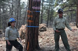
posted Nov 25, 2023
Humans and wildlife interact in multifaceted ways on public lands with both positive and negative outcomes for each group. When managed well, wildlife-based tourism and other forms of recreation can benefit conservation goals.

posted Nov 25, 2023
Regardless of our intentions, many species perceive humans as a threat and respond accordingly. In general, animals respond to threats by first increasing vigilance (time spent looking around versus foraging), and running away if the threat is perceived to be imminent.
posted Nov 24, 2023
The Vermont Town Forest Trail Design Guide was developed as part of the Vermont Town Forest Recreation Planning Toolkit, an initiative of the Vermont Urban and Community Forestry Program, to provide general guidance for designing and developing trails in town forests and beyond.


