posted Jun 7, 2018
This plan is intended to be used as a guide in designing and purchasing signs and materials for trails on the National Forests in Florida. It is intended to allow flexibility and variability depending on specific site conditions.

posted Jun 7, 2018
by Michigan Department of Natural Resources, Parks and Recreation Division
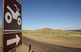
The Michigan Department of Natural Resources (DNR) is responsible for assuring the motorized trail system is appropriately signed. This handbook is intended to assist trail sponsors, DNR, United States Department of Agriculture, and Forest Service employees with trail signing responsibilities in developing trail facilities.

posted May 30, 2018
Considering the many factors that go into estimating costs for building and managing trails, railtrails, and greenways with examples from Wisconsin.
posted May 23, 2018
Asking the right questions is a vital first step in effective planning of a trail project.
posted May 23, 2018
Guidelines for use of Geosynthetic materials in trail construction.
posted May 23, 2018
For the past several years, national forests around the country have been looking for ways to make areas more universally accessible, while maintaining a natural appearance that is not as distracting as concrete, asphalt, boardwalks, and other obviously manmade pathways.
posted May 22, 2018
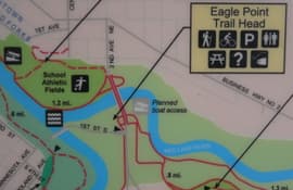
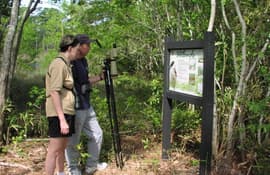
An ideal nature trail blends the beauty of the landscape with interpretive signage to offer an inspirational and educational resource to a community.
posted May 22, 2018
by University of Arkansas Division of Agriculture
The purpose of this publication is to provide an introduction to trail design for those who intend to develop trails for nature walking, hiking, horseback riding or ATVs on less than 40 acres. Some technical aspects are presented for those planning to expend resources for constructing trails such as around schoolyards or community facilities or as part of a wildlife enterprise.
posted May 16, 2018
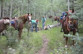
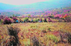
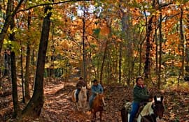
Increasing numbers of equestrians on public lands require more awareness of impacts.
posted May 16, 2018
American Trails Magazine editor, Stuart Macdonald, reviews Dr. Wood's equestrian trail book.
posted May 16, 2018
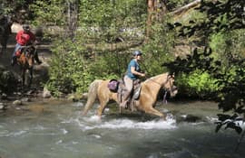
Does equestrian use have an impact on stream and lake water quality?
posted May 16, 2018
The perception of horse impacts in ecological reserves.


