Every unit of the national park system is required to have a formal statement of its core mission that will provide basic guidance for all planning and management decisions—a foundation for planning and management. The development of a foundation document for the Lewis and Clark National Historic Trail is necessary to effectively manage the park over the long term and protect park resources and values that are integral to the purpose and identity of the park unit.
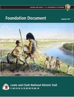
The Lewis and Clark National Historic Trail is approximately 3,700 miles long, extending from Wood River, Illinois, to the mouth of the Columbia River, near present day Astoria, Oregon, following the historic outbound and inbound routes of the Lewis and Clark Expedition. The trail connects 11 states (Illinois, Missouri, Kansas, Nebraska, Iowa, South Dakota, North Dakota, Montana, Idaho, Washington, and Oregon) and many tribal lands. The trail was established by Congress in 1978 as part of the national trails system (NTS) as one of four original national historic trails. Today, visitors can follow the approximate route of the Corps of Discovery (Lewis and Clark Expedition members) by exploring the trail using a variety of transportation methods and interpretive means.
The goal of the National Trails System Act (NTSA) is to provide for the ever-increasing outdoor recreation needs of an expanding population and promote the preservation of, public access to, travel within, and enjoyment and appreciation of the open air, outdoor areas and historic resources of the nation.
Attached document published September 2012
The National Park Service (NPS) was created in 1916 and today manages over 390 units found in all 50 states and some of the U.S. territories. NPS supports and operates trails in three interlocking arenas: trails in parks, technical assistance to States and communities, and administration of much of the National Trails System.
Making Transportation Planning Applicable in Tribal Communities Research Study: Final Report
posted Dec 20, 2023
The Federal Highway Administration’s (FHWA) Office of Tribal Transportation (OTT) planning staff have observed two challenges in Tribal transportation planning: (1) that existing planning analysis tools do not always align with Tribal community context and needs and (2) it is not always clear what benefits planning provides to transportation project selection and delivery in Tribal communities.
posted Dec 20, 2023
This report and its appendices constitute a review of law, policy, and procedures, with recommendations for changes based on Tribal consultation and public comments.
posted Dec 20, 2023
The U.S. Department of Agriculture (USDA), Forest Service is recognized as a leader among Federal land management agencies in partnering collaboratively with American Indian and Alaska Native governments and indigenous communities. The Forest Service Research and Development (R&D) Deputy Area recognizes that working with tribes and indigenous groups is vital to its mission to develop and deliver knowledge and innovative technology to improve the health and use of the Nation’s forests and grasslands— both public and private.
Strengthening Tribal Consultations and Nation-to-Nation Relationships
posted Dec 20, 2023
The Tribal Relations Program strives to enhance relationships between the Forest Service, Tribes, ANCs, non-federally recognized Tribes, and Native Hawaiians, as well as American Indian, Alaska Native, and other Indigenous individuals, communities, inter-Tribal organizations, enterprises, and educational institutions, thereby improving the agency’s ability to foster effective partnerships and respect Tribal sovereignty.
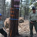
284 views • posted 08/13/2020