Join this webinar to learn more about strategies to bring the power of GIS to create a more equitable park and greenway system.
Presented by:
** This event has passed **
November 18, 2021
10:00 AM to 11:00 AM (Pacific Time) {more time zones}
Cost (RECORDING):
FREE for membersNote:
Closed Captioning is available for this webinar.
Learning Credits are available for this webinar.
This webinar is free. Would you consider a donation to support this webinar?
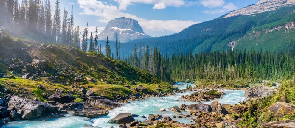
Protecting the places we love is a key element in the quest to save our planet. Scientists have identified that we must save 30 percent of our lands and waters by 2030 to avoid catastrophic biodiversity loss and climate collapse. It can feel overwhelming to figure out what we can we do to help achieve these goals for our communities or contribute to national efforts. One way we can contribute is by supporting the use of GIS (Geographic Information Systems) to analyze, map, and tell the stories of the places that need to be protected. The tools and data have never been more accessible so you don’t have to know how to be a GIS wizard to have a big impact. Where can a city park provide a park with a playground for kids and trees to help cool surrounding areas down in searing summer heat? How can GIS be used to engage communities to identify and protect important lands for water quality and local food production? How can GIS be used to link critical wildlife corridors that span across the country or identify where wildlife over or underpasses will save animals and people from vehicle collisions? How can we create more equitable opportunities for people to get outdoors to bike, walk or fish? GIS can help us visualize, gain insights into and design approaches to address these issues.
Join this webinar to learn more about strategies to use GIS in Breece’s brand new book “Protecting the Places We Love” and how she and Rick Wood worked together to bring the power of GIS to create a more equitable park and greenway system in Chattanooga, Tennessee.

This webinar qualifies as a Health, Safety, and Welfare (HSW) course (via LA CES).


Rick Wood, Owner, AccelParks
Chattanooga, Tennessee

Rick holds an undergraduate degree in Sociology from University of Tennessee at Chattanooga and a master’s degree in Urban Planning from Georgia Institute of Technology. He worked as a Project Manager and State Director for The Trust for Public Land for 17 years. In these roles he was able to play an important role in greenway and park development in Chattanooga, Tennessee and helped conserve an additional 4000 acres for Cumberland Gap National Historic Park and Chickamauga-Chattanooga National Military Park. Currently, Rick served as an advisor to the Thrive Regional Partnership.
During this time, Rick was able to see and experience how parks can transform communities while understanding the details and hurdles that get in the way, frustrate and cause delay. Currently Rick works as Business Development Manager for Playcore.
Breece Robertson, Director of Partnerships and Strategy, Center for Geospatial Solutions, Lincoln Institute of Land Policy
Santa Fe, New Mexico
Breece Robertson combines geospatial technology and storytelling to inspire, activate, educate, and engage people to protect our planet. She is a noteworthy leader in the conservation and parks field with over two decades of experience. She is the Director of Partnerships and Strategy at the Center for Geospatial Solutions at the Lincoln Institute of Land Policy. In this role, she engages in global initiatives to connect partner ecosystems and guides game-changing geospatial innovations to fill critical gaps and improve upon legacy methodologies to meet ambitious land, water, climate and equity goals. Prior, she created and led the GIS, research and planning unit at The Trust for Public Land and built strategic initiatives like ParkScore, ParkServe, and Greenprinting since 2001. In 2006, she was awarded the Esri Special Achievement in GIS award and in 2012, the “Making a Difference” award. She authored a book called “Protecting the Places We Love” published in April 2021 by Esri Press. When she’s not protecting places, she’s exploring and enjoying them.
We are offering closed captioning for our webinars, thanks to a partnership with VZP Digital. If you are in need of this service, please email us prior to the webinar. An unedited transcript will be sent to all attendees following the webinar.
American Trails is proud to be a certified provider of the following learning credits and continuing education opportunities:
Learning credits are free for attendees for American Trails webinars and the International Trails Symposium, as well as for other conferences, webinars, and workshops we offer credits for. Learn more here.
While we may individually agree (or disagree) in whole or in part with any or all of the participants, the views expressed in these webinars are not necessarily representative of the views of American Trails as an organization or its board and staff. Unless specific situations are noted by presenters, nothing in American Trails webinars should be considered to be interpreted as a standard.
By registering for our webinars, you submit your information to the webinar organizer and associated presenters and sponsors, who may use it to communicate with you regarding this event and their other services. Your organization may also be added to the American Trails Business Directory. You can easily cancel your registration at any time.
5,191 views • posted 07/22/2021