You searched for “water%20trails”
86 results
Image results for “water%20trails”
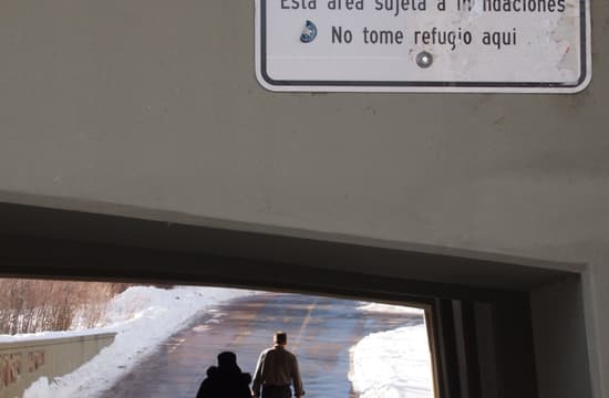
The Boulder Creek Trail runs below the water level with a retaining wall to keep out normal flows; the sign warns people not to shelter from rain here in case of flooding
The Boulder Creek Trail runs below the water level with a retaining wall to keep out normal flows; the sign warns people not to shelter from rain here in case of flooding
The Boulder Creek Trail runs below the water level with a retaining wall to keep out normal flows; the sign warns people not to shelter from rain here in case of flooding
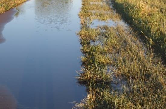
Another common water hazard is overflow from wetland adjacent to trails in Cherry Creek State Park; Denver, Colorado
Another common water hazard is overflow from wetland adjacent to trails in Cherry Creek State Park; Denver, Colorado
Another common water hazard is overflow from wetland adjacent to trails in Cherry Creek State Park; Denver, Colorado
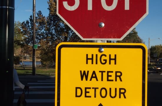
Stop sign combined with high water detour sign; Cherry Creek Trail in Denver
Stop sign combined with high water detour sign; Cherry Creek Trail in Denver
Stop sign combined with high water detour sign; Cherry Creek Trail in Denver
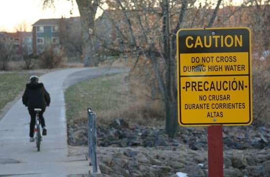
A side drainage is subject to flooding along Highline Canal in Aurora, Colorado
A side drainage is subject to flooding along Highline Canal in Aurora, Colorado
A side drainage is subject to flooding along Highline Canal in Aurora, Colorado
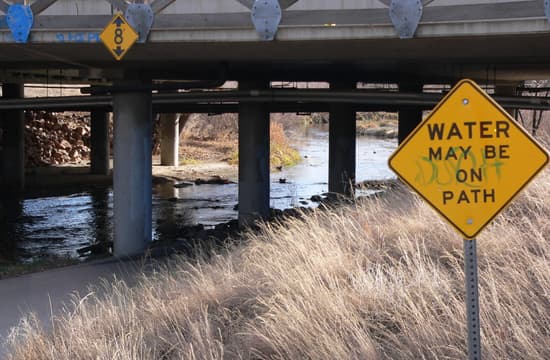
Another variation on flood warning signs, "Water may be on path" on Cherry Creek Trail; Denver, Colorado
Another variation on flood warning signs, "Water may be on path" on Cherry Creek Trail; Denver, Colorado
Another variation on flood warning signs, "Water may be on path" on Cherry Creek Trail; Denver, Colorado
Another variation on flood warning signs, "Water may be on path" on Cherry Creek Trail; Denver, Colorado
Another variation on flood warning signs, "Water may be on path" on Cherry Creek Trail; Denver, Colorado
Another variation on flood warning signs, "Water may be on path" on Cherry Creek Trail; Denver, Colorado
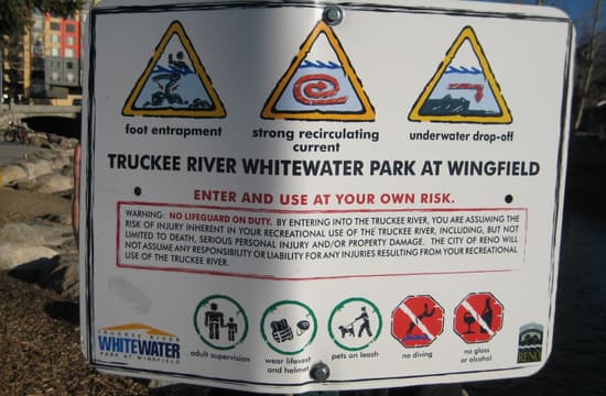
Another place to caution users is where the trail is part of a river recreation area; sign along the Truckee River Trail warning of various hazards of entering the water
Another place to caution users is where the trail is part of a river recreation area; sign along the Truckee River Trail warning of various hazards of entering the water
Another place to caution users is where the trail is part of a river recreation area; sign along the Truckee River Trail warning of various hazards of entering the water
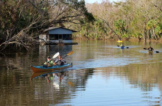
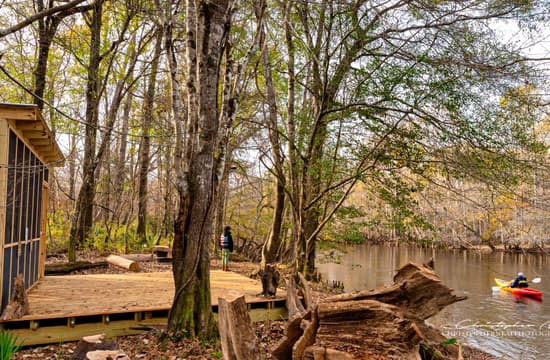
Apalachicola River Paddling Trail System - paddlers on East River
Apalachicola River Paddling Trail System - paddlers on East River
Apalachicola River Paddling Trail System - paddlers on East River

Here the edging keeps water from draining so obstacles in the form of drainage bars were placed to try to keep the crushed rock from eroding.
Here the edging keeps water from draining so obstacles in the form of drainage bars were placed to try to keep the crushed rock from eroding.
Here the edging keeps water from draining so obstacles in the form of drainage bars were placed to try to keep the crushed rock from eroding.
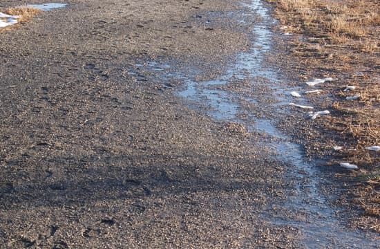
Water running down the slope gathers on the crusher fines trail because of insufficient cross slope of the trail.
Water running down the slope gathers on the crusher fines trail because of insufficient cross slope of the trail.
Water running down the slope gathers on the crusher fines trail because of insufficient cross slope of the trail.
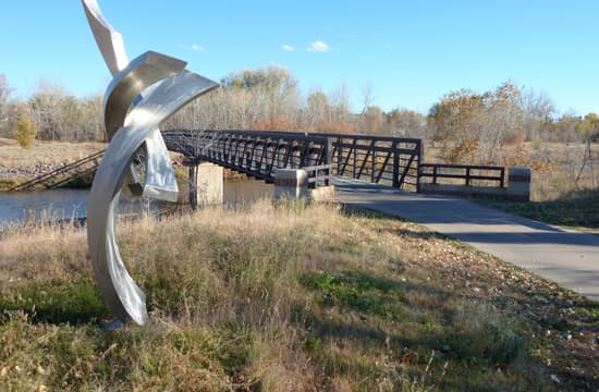
Sculpture on the Mary Carter Greenway along the Platte River, South Suburban Park District, Littleton, Colorado.
Sculpture on the Mary Carter Greenway along the Platte River, South Suburban Park District, Littleton, Colorado.
Sculpture on the Mary Carter Greenway along the Platte River, South Suburban Park District, Littleton, Colorado.
SC Revolutionary Rivers Trail, Scranton, South Carolina
SC Revolutionary Rivers Trail, Scranton, South Carolina
SC Revolutionary Rivers Trail, Scranton, South Carolina


