Sponsored by Rhino Marking & Protection Systems. This webinar will discuss a state-of-the-art LiDAR technology solution for trail management, LATTE.
Presented by:
** This event has passed **
April 29, 2021
10:00 AM to 11:30 AM (Pacific Time) {more time zones}
Cost (RECORDING):
FREE for membersNote:
Closed Captioning is available for this webinar.
Learning Credits are available for this webinar.
This webinar is free. Would you consider a donation to support this webinar?
Thanks to the generous sponsorship from Rhino Marking and Protection Systems, this webinar (and learning credits) is free to the public.
PLEASE NOTE: This webinar will NOT include live Q&A due to the nature of the content and detailed answers, as well as the possible need to look up information in order to fully answer an attendees' question. The presenters do intend to answer all questions in writing following the webinar and a document will be shared with attendees as well as posted on this webinar's webpage. Email your question to [email protected] or feel free to email the presenters directly.
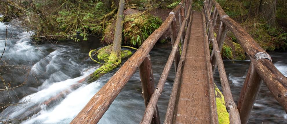
Expanding from a brief explanation provided in our November 5, 2020 webinar Technology in Trail Building and Planning: Drones and LiDAR, this webinar will discuss a state-of-the-art LiDAR technology solution for trail management, LATTE. This scientific approach to assessment removes the subjective variability inherent in common approaches. The methodology incorporates geospatial technologies used in other industries to produce measured baseline conditions, as well as subsequent changes. These results can then be converted into trail maintenance and construction/reconstruction data that will guide in the management of trail resources, prioritization of agenda and real time data on existing conditions. Data results can be processed from the office to set up a strategic management plan based on comprehensive measurements rather than subjective observations.
Join Matt Woodson of Okanogan Trail Construction, Inc. and Zachary Radel of Cooper Aerial Survey Co. for the latest on this groundbreaking trail technology.

This webinar qualifies as a Health, Safety, and Welfare (HSW) course (via LA CES).
Matthew Woodson, Owner/Founder, Ocotillo Trail Consulting
Glenwood, New Mexico
Matt Woodson has been a wilderness trails development contractor for more than 38 years. He has worked extensively on the remediation of multi-use trails. His work has even reached as far as Africa, working with the USFS International Program to train locals to build and maintain trails to promote land/wildlife conservation efforts for the African gorilla, as well as working in National Parks in the Democratic Republic of Congo.
Zachary Radel, Sr. Project Manager, Cooper Aerial Survey Co.

Zachary Radel, Sr. Project Manager, CMS – UAV, has over 17 years in the geospatial community. Beginning his career as an aerial photographer, Zachary has logged over 100,000 miles during aerial acquisition, perfected flight management and metric camera management. After surviving a plane crash in 2011 while on an aerial mission, he transitioned his skills into project management. Since that time, Zachary has managed over 500 + aerial photogrammetric and LiDAR projects. He serves as the primary point of contact for new projects.
We are offering closed captioning for our webinars, thanks to a partnership with VZP Digital. If you are in need of this service, please email us prior to the webinar. An unedited transcript will be sent to all attendees following the webinar.
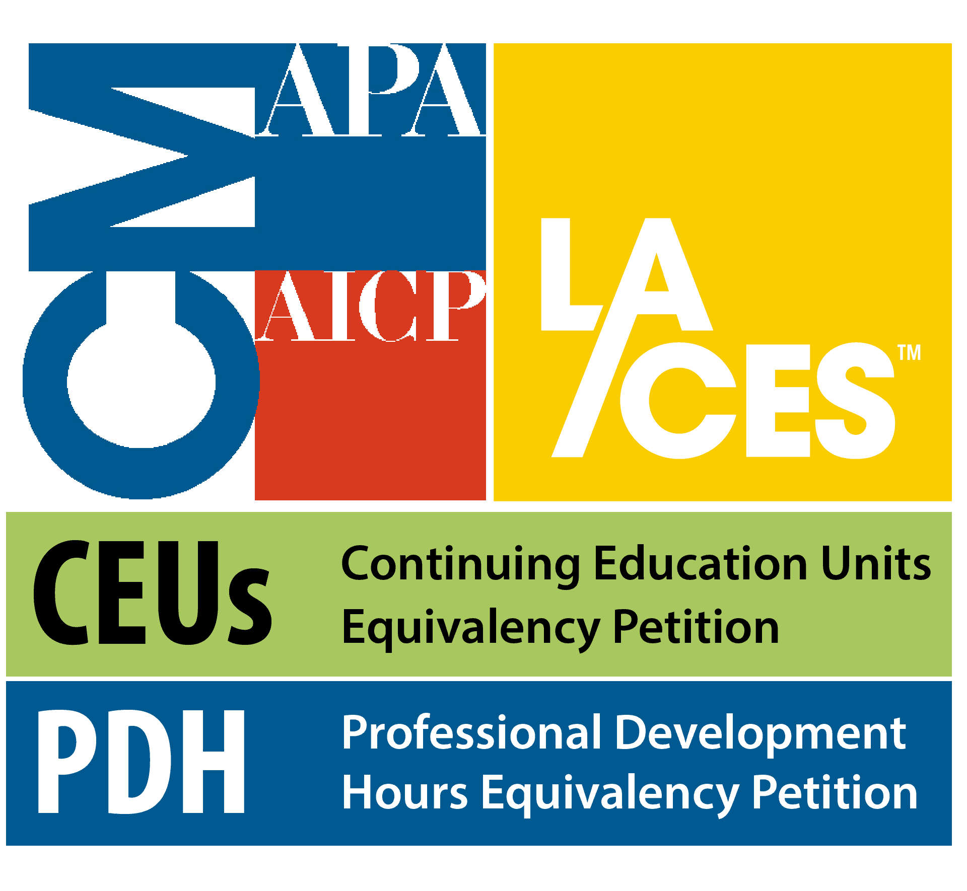
American Trails is proud to be a certified provider of the following learning credits and continuing education opportunities:
Learning credits are free for attendees for American Trails webinars and the International Trails Symposium, as well as for other conferences, webinars, and workshops we offer credits for. Learn more here.
While we may individually agree (or disagree) in whole or in part with any or all of the participants, the views expressed in these webinars are not necessarily representative of the views of American Trails as an organization or its board and staff. Unless specific situations are noted by presenters, nothing in American Trails webinars should be considered to be interpreted as a standard.
By registering for our webinars, you submit your information to the webinar organizer and associated presenters and sponsors, who may use it to communicate with you regarding this event and their other services. Your organization may also be added to the American Trails Business Directory. You can easily cancel your registration at any time.
5,687 views • posted 12/22/2020