Visible throughout Carson City, the approximately 2,500 acre Prison Hill Recreation Area has been set aside and dedicated as open space for the community of Carson City.
by Sue Crowe, Database Coordinator
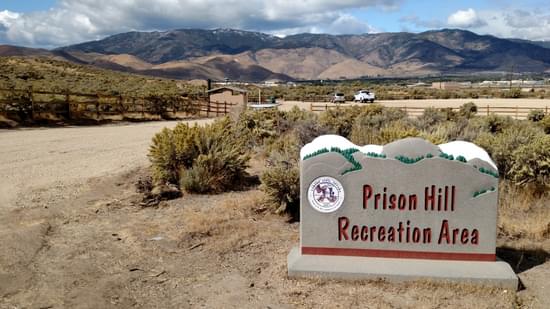
The Prison Hill Recreation Area consists of about 2,500 acres and is part of more than 5,000 contiguous acres of land in the Carson River corridor that are managed by Carson City as Parks and Open Space. The east and north sides of Prison Hill are adjacent to some of Carson City’s largest residential populations. This popular open space is available for those who wish to hike, mountain bike, horseback ride, ride off-highway vehicles (south end only), experience great views of the Carson Range and Pine Nut Mountains, enjoy the quiet, and take some great pictures. Prison Hill is located on the southeast side of town and has three main community parking areas.
The Prison Hill Recreation Area was conveyed to Carson City by the Bureau of Land Management (BLM) in 2015 as part of a Federal Lands Bill. Before the conveyance, the BLM closed the north end of Prison Hill to motorized vehicles, but years of unregulated travel left numerous user-created roads and trails, many of them highly erosive and visually unattractive. It should be noted that the south end of Prison Hill remains open to motorized recreation, and that area is being developed for OHV opportunities, in part with the help of another RTP grant.
The 5th Street Trailhead and Trails Project was conceived to re-create an area of about 60 acres on the north end of Prison Hill to make it an attractive, sustainable, accessible, family-friendly, and inclusive recreation area. The City of Carson City received $200,000 from the Recreational Trails Program in 2016 for accessibility enhancements that included the construction of a 30+ vehicle parking lot with a compacted road base surface with two ADA-accessible parking spaces. Installation of an ADA-accessible vault toilet, picnic area, shade structure, kiosk sign, and three natural surface loop trails, totaling 1.6 miles, which were designed to be accessible to adaptive mountain bikes, as well as traditional mountain bikes, hikers, runners, equestrians, seniors, and families with small children. The match for the project came from Carson City’s Quality of Life Initiative.
This project created a centralized location for access to a system of over 30 miles of trails and pathways, many of which are ADA compliant. These trails provide connections to the Carson River, adjacent neighborhoods, 5000 acres of Parks and Open Space, and Carson City's downtown core.
Photos Provided by Gregg Berggren, Carson City Parks, Recreation & Open Space
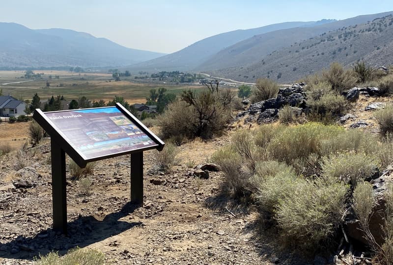
One of four new interpretive signs along the trail
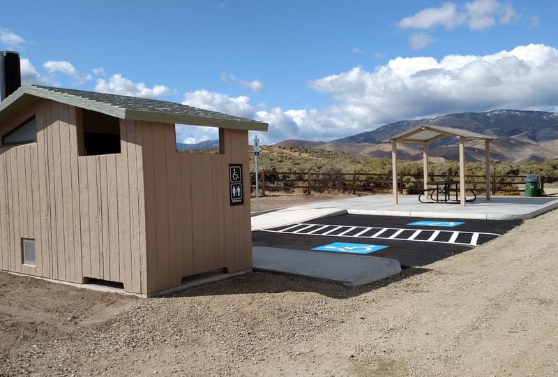
Prison Hill 5th Street Trailhead Accessible Facilities
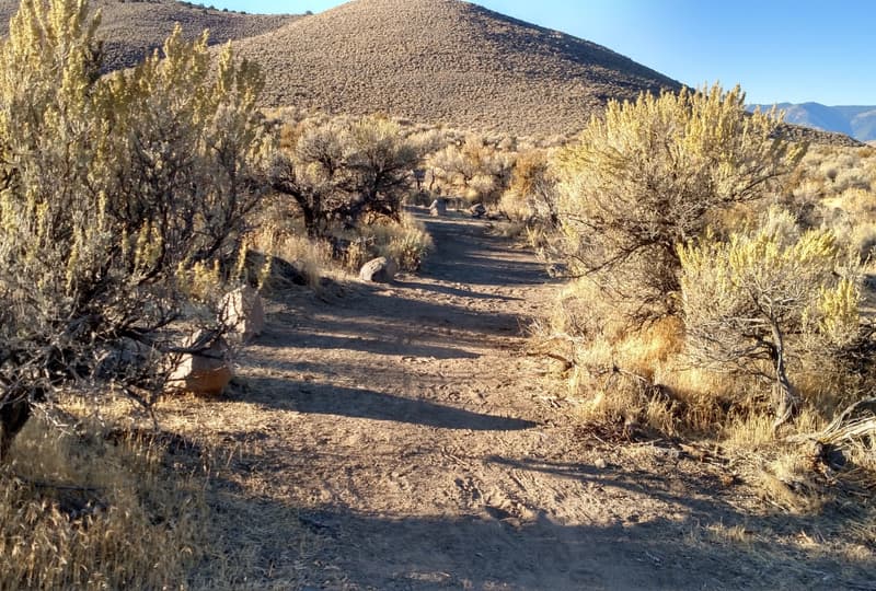
New trail accessible to adaptive mountain bikes

Sue Crowe joined American Trails in September 2016 as the RTP Database Coordinator after retiring from a career in local government. Sue spent 15 years in fiscal operations and management, with 12 of those years as staff accountant to the Shasta County Regional Transportation Planning Agency. Sue worked extensively on programs in both motorized and non-motorized transportation, including administering grant programs such as Safe Routes to School and the Secure Rural Schools Act.
Sue volunteers at a local animal shelter where she helps to socialize shelter dogs like Honey in the photo. Sue also paints custom pet portraits on rocks and canvas. All proceeds help with special medical need shelter dogs.
Sue moved to Redding in 1987 after growing up in Trinidad, California. She and her husband, John, enjoy hiking with their dog and spending time at their house at Trinity Lake.
Contact: [email protected]
Blackstone River Bikeway, Rhode Island
posted Apr 14, 2024
The Blackstone River Bikeway takes you through the heart of the Blackstone Valley. Peddle past historic mills, workers housing, the Blackstone Canal, the Providence and Worcester Railroad, and the Blackstone River itself.
Twenty Mule Team Trail, California
posted Mar 17, 2024
For many people, nothing symbolizes Death Valley more than the famous Twenty Mule Teams.
Hillman Heritage Trail, Kentucky
posted Mar 17, 2024
Located in Hillman Ferry Campground, portions of the trail follow a long-abandoned road that once carried old cars, wagons, and horses to the Tennessee River at Hillman Ferry.
Desert Ecology Trail, Saguaro National Park, Arizona
posted Feb 19, 2024
Located in the Sonoran desert, this paved interpretative, signed trail gives an overview of the plants, animals, and weather encountered in the desert.
941 views • posted 08/12/2022