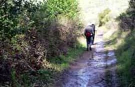
posted May 23, 2018
Trail construction and maintenance may involve impacts to wetlands and other natural resources: an understanding of these impacts and methods to minimize them.
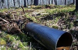
posted May 23, 2018
The next time you need some culverts on your trail try used steel casings. You'll like them!
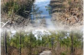
posted May 23, 2018
Guidelines for use of Geosynthetic materials in trail construction.

posted May 23, 2018
The Subaru/IMBA Trail Care Crew is a time-tested international trails program that teaches how to create environmentally sound and fun trails!
posted May 23, 2018
For the past several years, national forests around the country have been looking for ways to make areas more universally accessible, while maintaining a natural appearance that is not as distracting as concrete, asphalt, boardwalks, and other obviously manmade pathways.
posted May 23, 2018
Key criteria in arriving at a recommended trail surface.
posted May 23, 2018
A Guideline for the Design and Construction of Asphalt Pavements for Colorado Trails and Path
posted May 23, 2018
The intent of this 4th edition of a Tennessee Recreation Trails Manual is to help understand the dynamics of designing and building non-motorized trails.

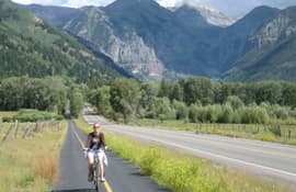
posted May 22, 2018
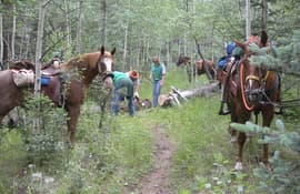
Federal transportation laws and regulations do not prohibit the use of shared use paths or trails by equestrians.
posted May 22, 2018
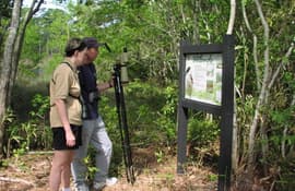
An ideal nature trail blends the beauty of the landscape with interpretive signage to offer an inspirational and educational resource to a community.
posted May 22, 2018
by University of Arkansas Division of Agriculture
The purpose of this publication is to provide an introduction to trail design for those who intend to develop trails for nature walking, hiking, horseback riding or ATVs on less than 40 acres. Some technical aspects are presented for those planning to expend resources for constructing trails such as around schoolyards or community facilities or as part of a wildlife enterprise.
posted May 16, 2018
Increasing numbers of equestrians on public lands require more awareness of impacts.
Page 81 of 132


