posted Feb 19, 2018
Learn the step-by-step process for a full mechanical road-to-trail conversion from planning and outreach to design, construction, and working with volunteers.
posted Aug 3, 2020
by Rails to Trails Conservancy
Transportation connects people and places. It provides access to jobs, education, shopping and recreation. More than one-quarter of all trips we make are less than a mile — an easy walking distance — and nearly one-half of all trips are within three miles — an easy biking distance. Yet, we make more than 78 percent of these short trips by car.
posted Sep 26, 2023
by National Recreation and Park Association (NRPA)
Adults living within a half mile of a park visit parks and exercise more often, but according to the 2014 State Indicator Report on Physical Activity, less than 38 percent of the U.S. population lives within a half mile of a park.
posted Nov 19, 2018
These guidelines offer direction and define goals to facilitate the design and development of a San Francisco Bay Trail system that is safe, connected and continuous; provides a positive user experience that encourages people to use the trail; and maximizes access to and use by the broadest spectrum of people possible.
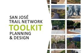
posted Jul 23, 2018
by City of San Jose - Parks, Recreation, and Neighborhood Services
This Toolkit documents the San Jose’s approach to quality planning and design to ensure a common understanding by all persons involved in the championing, planning, and design of trail projects.
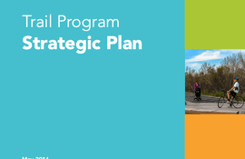
posted Jul 26, 2021
by City of San Jose - Parks, Recreation, and Neighborhood Services
While the Trail Program has identified and documented 133 miles of potential trails, the Strategic Plan is focused on delivery of the immediate 100-mile goal in the most cost effective and efficient manner.
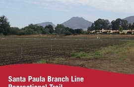
posted Jul 28, 2020
by Rails to Trails Conservancy, Alta Planning + Design
This report is an inventory and analysis of existing trails in agricultural settings, with a focus on trails that are most comparable to the context of the Santa Paula Branch Line (SPBL) in Ventura County.
posted Jul 23, 2020
by Partnership for the National Trails System (PNTS)
The Trinity Divide purchase is one of the biggest, single land-acquisition deals ever completed for the Pacific Crest National Scenic Trail
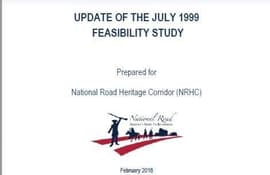
posted Jul 30, 2020
The Sheepskin Trail, a rail-trail project is a proposed 34 mile bicycle/pedestrian path that will extend from Dunbar Township to Point Marion Borough at the Pennsylvania/West Virginia state line. The intent of this study update is to utilize and update the 1999 Feasibility Study as necessary based on changes to the trail corridor that have occurred in the past 18 years.
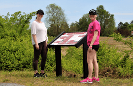
posted Jun 11, 2021
by Emily McKinney with Pannier Graphics
Pannier is the leading manufacturer of signs, panels, exhibit bases, and frames. With a full line of exhibit bases, there is a product for every trail and wayside application.
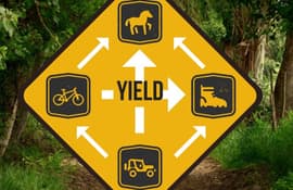
posted Jan 14, 2020
Encouraging different types of users to share the trail is just as important on urban trails as it is on backcountry trails.

posted Feb 19, 2018
Introduction to various aspects of implementing a wayfinding program.


