Finely crushed rock (crusher fines) is a useful alternative to paving trails that accommodates most trail activities.
Crusher fines is a finely-crushed stone mix that is often the byproduct of gravel operations. Crushed stone trails provide a user-friendly, all-season surface for all types and ages of visitors, including strollers, wheelchairs, and road bikes. If built properly crushed stone trails can meet the specification for a "firm and stable" surface as defined in current federal guidelines for accessible trails.
Best Practices:

The Art of Building Crushed Stone Trails
Crushed stone trails provide a user-friendly, all-season surface for all types and ages of visitors, including strollers, wheelchairs, and road bikes.
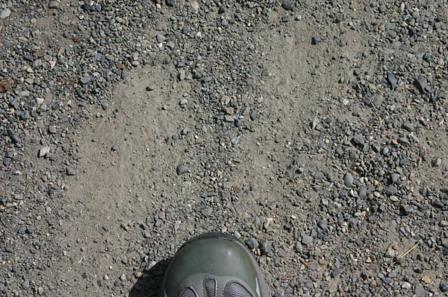
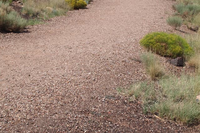
Typical crusher fines surface showing very firm matrix with only a few loose larger rock particles.

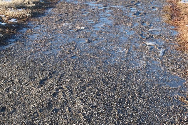
Water running down the slope gathers on the crusher fines trail because of insufficient cross slope of the trail.
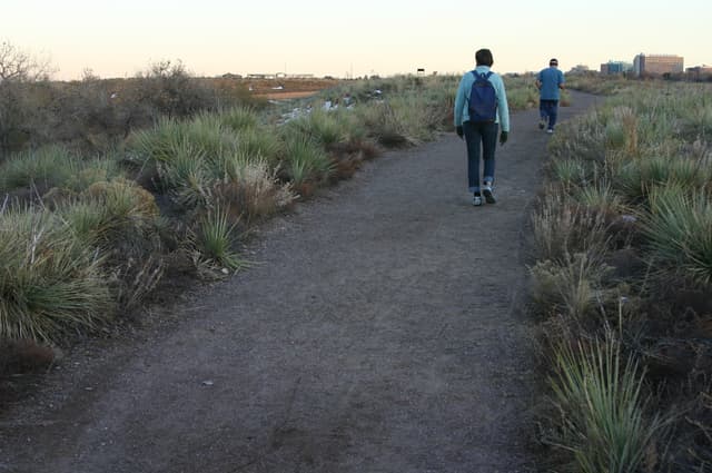
A better crusher fines trail in the same Bluff Lake Nature Area, Denver
Here the edging keeps water from draining so obstacles in the form of drainage bars were placed to try to keep the crushed rock from eroding.
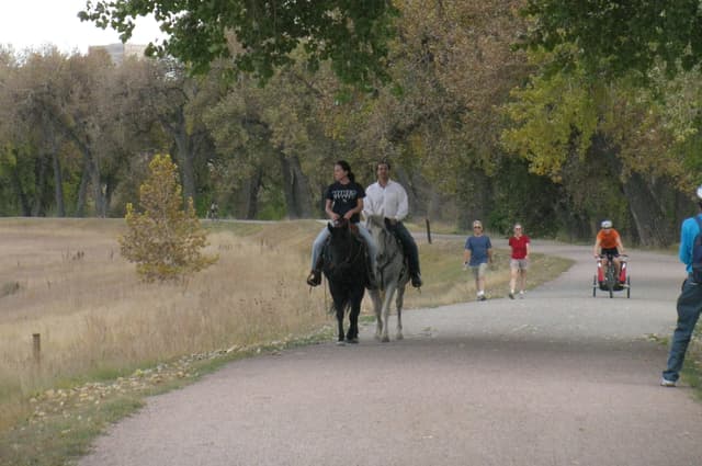
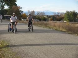
Horses, bikes, and walkers all use the crusher fines Highline Canal Trail near Denver, CO.
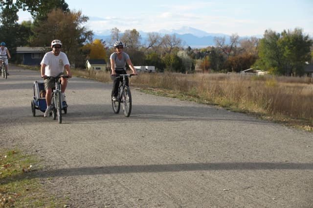
Top quality crusher fines trail along the Highline Canal in Cherry Hills Village, CO.
The fabric used under the crusher fines is exposed because of insufficient depth of material; Big Dry Creek Nature Trail, Westminster, CO
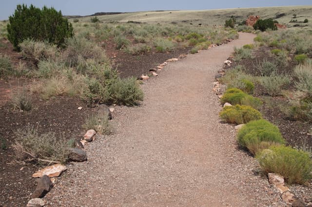
Crusher fines trail built up to form a bench; Lomaki Wupatki National Monument, AZ
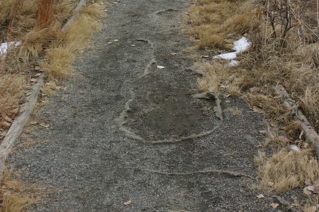
Crusher fines will eventually dry smooth once snowmelt stops; Adams County, Colorado, park.
Crusher fines trail lined with native rock; Lomaki Wupatki National Monument, AZ.

A fine grained, dark crusher rock is the surface for trail at Westerly Creek Dam, Denver.
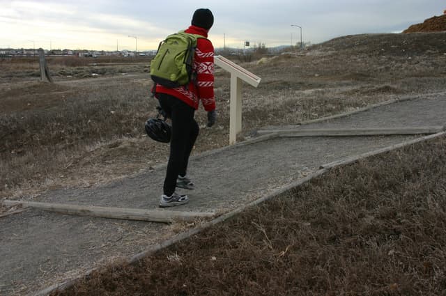
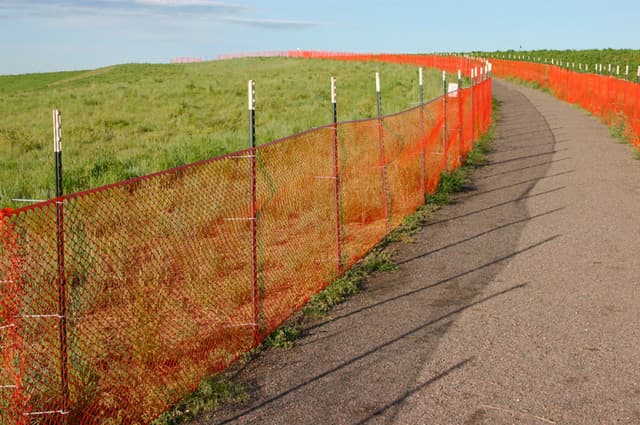
Crushed rock that is larger and looser than ideal; Bluff Lake Nature Area, Denver.

The plank edging is supposed to keep the crusher fines in place; Big Dry Creek Nature Trail, Westminster, CO.
Trail climbs at a low angle up the face of Westerly Creek Dam, Denver.
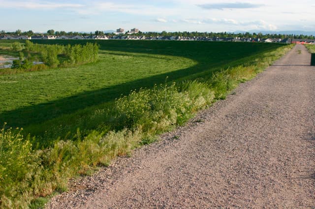
Crusher fines trail on top of the Westerly Creek Dam, Denver.

The landscape fabric is exposed in this Philadelphia park due to runoff: the trail runs straight down the slope.
posted May 24, 2021
Are there any graduate programs that are focused on trail planning, development, and design?
FAQ: Apps for Trail Management and Volunteers
posted May 19, 2021
Information on apps that can be used for trail management that would be suitable for volunteer-type organizations.
FAQ: What is the definition of a trail?
posted Jan 14, 2021
Defining a trail corridor in law, policy, and planning.
19,012 views • posted 03/21/2019