
So much of this project’s trail work is deferred maintenance that is in dire need. The USFS does not have the capacity to maintain these trails and depends on Wild Alabama to be the primary boots on the ground to keep them safe for hikers and equestrians. If we do not get into the Wilderness and reroute some of these trails, not only will the banks of the Sipsey Fork continue to erode at a faster than normal rate, but there will be safety issues since the trails are sometimes 20 feet or so above the water level and can cause severe injury to someone falling off the bank.
The project has three elements to it.
First, a professional trail contractor will come in to perform an assessment of approximately 20 miles of trails. These trails are along the wild and scenic river corridor and are most in need of repair. The contractor will assess, provide repair designs, and provide a quote for the cost of repair. This assessment will be the first step towards regaining a sustainable and durable trail system. Wild Alabama staff and volunteers will utilize the repair designs for low complexity segments. The high complexity areas will inform Forest Service staff how best to proceed and allow for both NEPA and/or MRA analysis to begin. Down the road as analyses are completed, these projects will be ready shelf stock for potential future grants or appropriated funds.
The second element of the proposal is professionalized trail maintenance training for both Wild Alabama and Forest Service staff taught by the trail contractor. Presently, these skills are largely lacking. Training will ensure trail repairs are able to be maintained for many years to come.
Lastly, the grant will provide funding for an immediate AOP and trail reroute project. A washed out culvert on hiking/equestrian trail 208 created a 10 foot wide by 15 feet deep hole in the middle of the trail. Funds will allow aquatic passage to be restored, bank stabilization to prevent further erosion, and the trail to be rerouted away from this dangerous hazard. This proposal meets immediate needs (AOP project) while also providing a long term strategy to address the many needed trail repairs along the Sipsey Fork (trail assessment and training).
These trails have experienced significant use, especially following the increased public interest in outdoor recreation resulting from the pandemic. The trails our work will focus on have experienced significant erosion due to their proximity to the banks of the Sipsey Fork of the Black Warrior River and are eroding greatly, depositing significant sediment into the streams below. When hurricanes and major storms impact the area, the Sipsey Fork overflows its banks and causes even more damage to these trails proximate to the banks. The erosion is causing sediment deposit that is greatly negatively impacting the Fork’s water quality upon which several endangered species depend. Our work will focus on moving trails back from the edge of the stream onto higher, more stable ground.
The Sipsey Fork of the Black Warrior River is Alabama’s only Wild and Scenic designated river. It is home to as many as twenty rare and imperiled aquatic species. These species either live within or rely upon the clear, clean headwaters of the Sipsey Fork. Trail erosion and increased sediment loads entering the watershed negatively impact these species by degrading their natural habitat.
Other work that Wild Alabama will complete includes decommissioning the many social trails that are created by the feet of frequent and numerous visitors. These cumulative social trails have become a convoluted twist of paths further eroding the banks and need to keep traffic directed on the actual NFST. Just beyond the AOP project, trail 208 has a 300-foot-long bog that has created unsafe travel conditions for both hikers and equestrian users. Decommissioning a social trail near the creek and rerouting the trail on the upslope side will prevent further erosion and restore safe passage for all users. The specialized trail training funded through this grant will ensure our work focuses on restoring safe and sustainable trails that will be maintained to standard for years to come.
2024: Highline Trail
2024: Teton Trails Deferred Maintenance
2024: Phase 2 of the Arroyo Hondo Project
2024: Greenhorn Gulch Trail Reroute and Bridge Rebuild
2024: Trail Rehabilitation in Beaverhead Deer Lodge National Forest
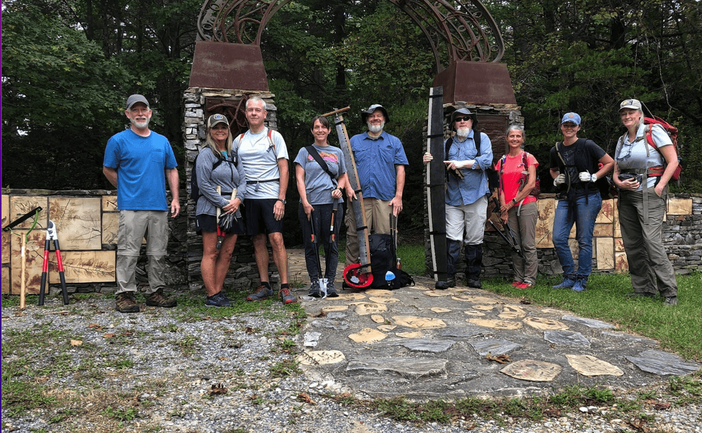
2024: Trail Maintenance and Repairs in Pisgah National Forest
2024: Wasatch National Forest Deferred Maintenance and Weather Resilience
2024: Rio Fernando de Taos Watershed Revival
2024: Mineral Creek Trail Reroute
2024: Second Fork Trail Project
2024: Trinity River Watershed Trail Improvement Project
2024: Salmon-Challis National Forest Trail Restoration
2024: Manistee, White, Muskegon, and Pere Marquette River Watershed
2024: Mount Shavano Trail and Riparian Habitat Restoration Project
2024: South Park Ranger District Singletrack Connector Trail
2024: Oak Creek Canyon Watershed Restoration Project
2024: Bartram National Recreation Trail Maintenance
2024: Idaho Panhandle National Forest Sandpoint Ranger District Trail Reroute
2024: Pony Express National Historic Trail Improvement
2024: South Lake and Moss Lake Trail Restoration
2024: West Ridge Trail #176 Improvements
2024: Blue Bend Loop Trail Restoration
2024: Catamount Trail Improvement
2024: Munson Meadow Trail Restoration
2024: Vesuvius Recreation Area Trail System Restoration
2024: Hurricane Creek Trail Restoration
2024: Cove Creek Trail Rehabilitation
2023: The Storm Creek Connector Trail
2023: Backpacker and Lakeshore Trails
2023: Beaver Meadows Trail
2023: Munson Meadow Trail
2023: Imnaha River Trail
2023: Maxon Meadows Trail to Chamberlain Meadows Camp
2023: Lost Lake Trail
2023: Virginia Highlands Horse Trail
2023: Pasayten Wilderness Project
2023: Catawba River Headwaters
2023: Continental Divide National Scenic Trail
2023: Southfork Trail, White Mountain Wilderness
2023: Black Canyon and Trail Creek Drainages
2023: Twenty Lakes Basin Toads and Trails
2023: Dickey Bell Trail Reroute and Bypass
2023: Horseshoe Canyon Trails
2023: Lower San Francisco River Wilderness Study Area
2023: Trails in Ontonagon and Sturgeon watersheds
2023: Bandit Springs Trail System
2023: Caton Lake Trail
2023: Yellowbelly Trail
2023: Santa Cruz Trail
2023: Bridge Replacement for Trail Access
2023: Pioneer Mountains Trail Maintenance
2023: North Country National Scenic Trail Connections
2023: Pincushion Mountain Ski Trails
2023: Rocky Gap Horse Trail System
2023: Shrode Lake Trail
2023: Johnson Creek Trail Re-Establishment
2023: Soda Ditch Loop Trail
2023: Restoration of Buckhorn and Indian Trails
2023: Hauf Lake and One Horse Lakes Trails
2023: Building Resilience on the TRT/PCT
2023: Camp Creek Watershed Improvement
2023: Pomas Creek Trail and Entiat River Trail
2023: Western States Trail & Tevis Cup Trail, within Granite Chief Wilderness
2023: Western States Trail Improvements
321 views • posted 05/25/2023


